txstockpile
SAND & GRAVEL
All the Results. None of the Stress.
WEAK POINTS
in Sand & Gravel
Sand and gravel operations often come with challenges that aren’t always visible at first; ranging from inventory discrepancies to the complexities of accurate reconciliation and reporting. Small inefficiencies can easily go unnoticed and impact operations over time. Our team helps identify and eliminate these issues, giving you clearer data and more reliable insight into your materials and inventory.
Production
vs. Sales
Reconciliation Issues
When production records don’t align with sales numbers, it becomes difficult to understand where materials are actually going. Accurate stockpile measurements provide a reliable reference point, helping teams reconcile production, inventory, and sales with greater confidence.
Lack of
Frequent
Inventory Updates
Stockpiles change constantly, but many sites only measure them a few times a year. Consistent aerial inventory updates keep your material data current, giving managers reliable numbers they can trust when planning production, purchasing, and reporting.

HOW WE SOLVE IT.
Drone Photogrammetry
Get accurate volume and tonnage
calculations without the guesswork.
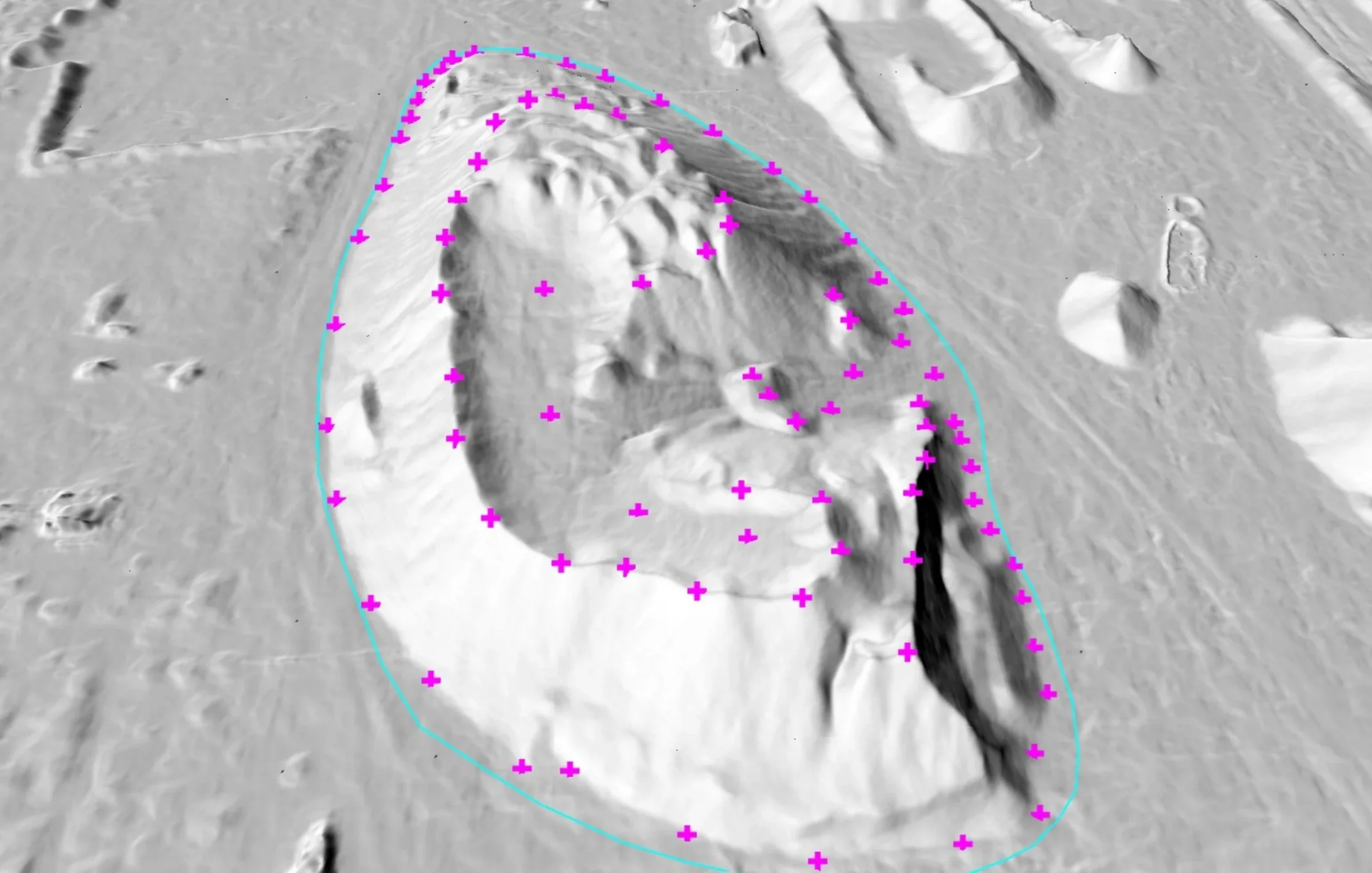
Maintaining an interactive 3D archive of your site allows your team to easily review changes between surveys and identify any discrepancies over time. This consistent documentation supports better planning, keeps projects on schedule, and ensures your records remain accurate and well organized. With high-definition, fully navigable 3D models, your team can review site conditions from any angle without needing to be physically present.
Frequent Drone Flights
Note Your Pile Changes Anytime, Anywhere.
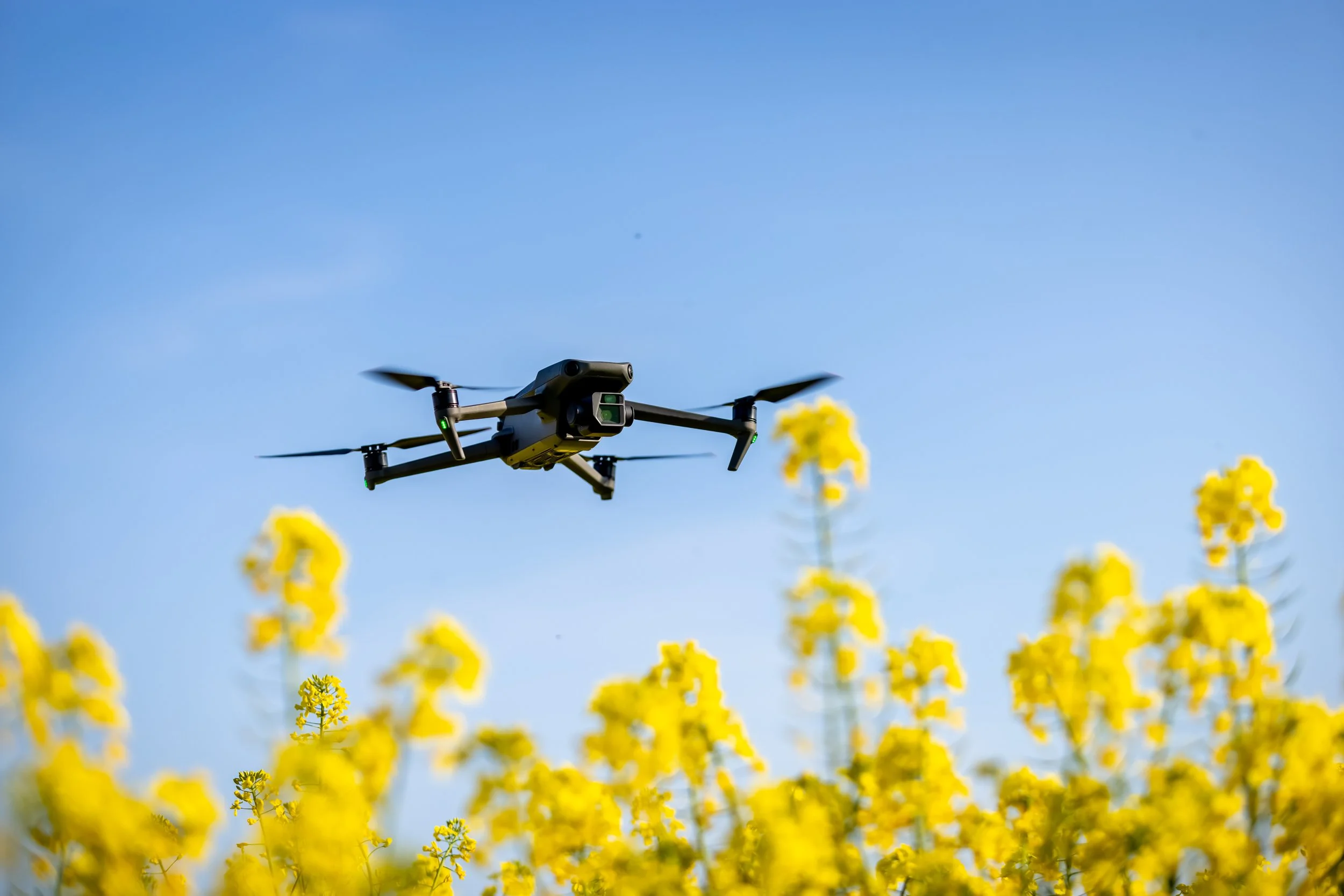
Frequent drone flights can keep your team in the loop, ensuring nothing falls through the cracks as your project timeline increases. Offering trackable and comparable updates as frequently as needed, our team is ready to be out on the field documenting your site monthly, weekly, even daily—ensuring your inventory numbers are always up to date and documented.
3D Model Records
Detailed, time-stamped models showing your sites progression to help catch discrepancies.
Drone photogrammetry provides your team with precise 3D models of your stockpiles, delivering reliable volumetric measurements and greater confidence in your tonnage calculations. By turning aerial data into accurate material quantities, your team gains clear insight into inventory without relying on estimates or manual measurements. Let the professionals handle the calculations while your team stays safely off the piles.

ADVANTAGES
1
EVERYWHERE
AT ONCE
Instead of relying on scattered reports or site-by-site updates, your team gets access to consistent, up-to-date inventory data across every location on one centralized platform.
INTERACTIVE
WEB PORTAL
An interactive web portal for viewing stockpile volume reports makes inventory data far more accessible and actionable, giving your team access to the latest measurements and trackers through frequently updated maps, dashboards and visibility charts.
2
THIRD PARTY
SUPPORT
With third party support, your team is provided objective, accurate, efficiently delivered data that’s difficult to achieve internally. With experts handling the capture and processing of measurements, your team gains dependable insights into their inventory without the time, equipment, and training required to manage it yourselves.
3


Get a Quote
Today!
Bring the future of drones to your next project.
Get in touch with our team and get a quote, our team can’t wait to hear from you!