
DRONES IN
Survey & Engineering
PRECISION DATA. FASTER DECISIONS. SMARTER PROJECTS.
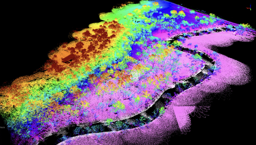
Using advanced laser-pulse technology and high-performance sensors, our drone-mounted LiDAR systems scan your site with surgical precision. Unlike traditional methods, our sensors emit hundreds of thousands of laser pulses per second, capturing every detail of your landscape, no matter how small or distant.


Tracking your progress with Lidar
Simplifies everything.
Are you a Landowner
Looking for Clarity?

COMPREHENSIVE
TERRAIN
COVERAGE
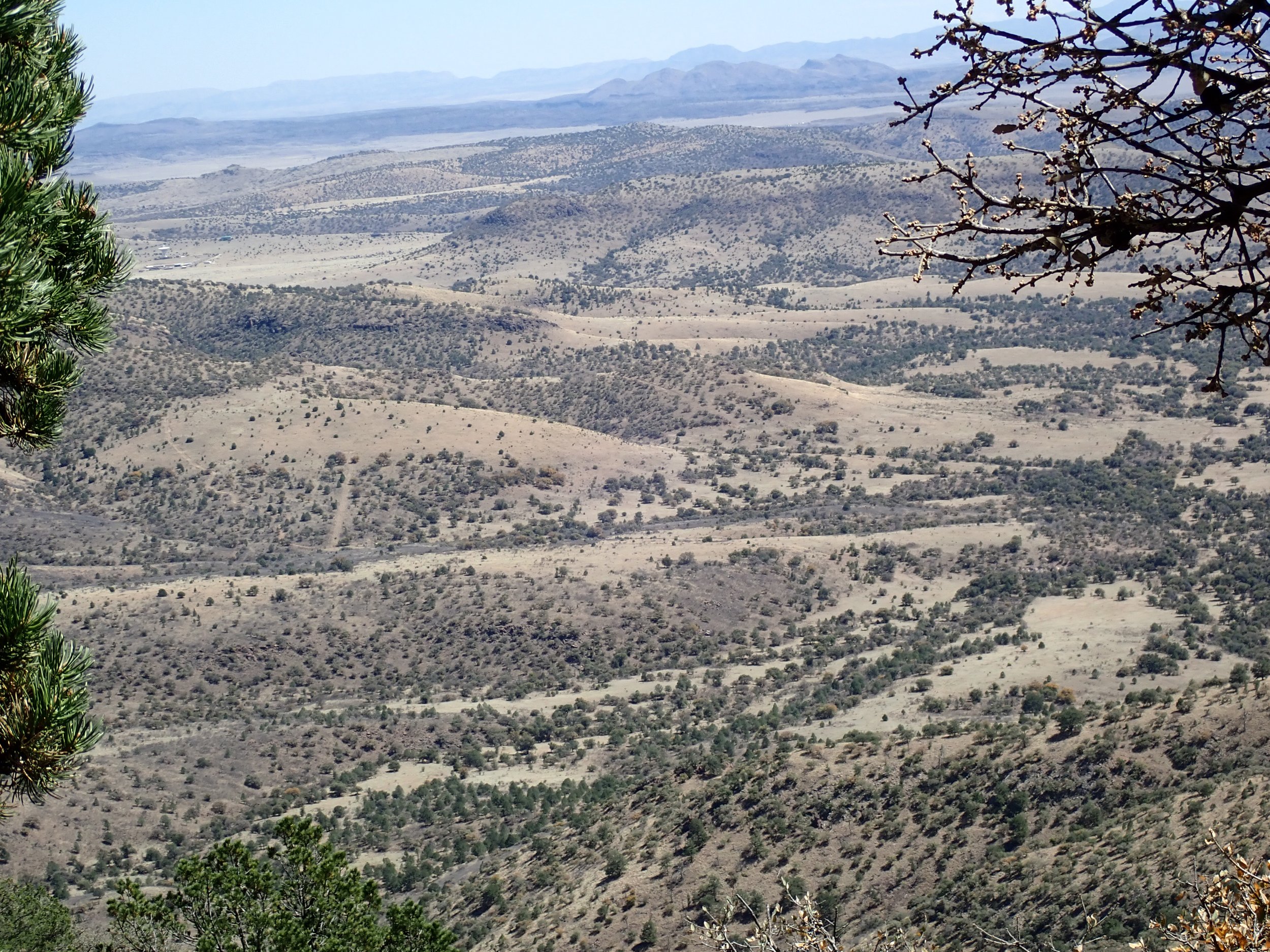
Understanding your land shouldn't be a guessing game. Whether you're planning a development, managing drainage, or resolving a boundary dispute, a drone topographical survey gives you the precise data you need to make confident decisions.
RAPID DATA
COLLECTION
Using the latest UAV technology, we capture high-resolution aerial imagery and convert it into detailed maps and 3D terrain models, faster and more cost-effectively than traditional ground surveys. Our surveys are ideal for planning applications, flood risk assessments, agricultural land management, boundary queries, and construction projects across all terrain types. Minimal disruption to your land, quick turnaround, and fully processed reports ready to share with architects, planners, or solicitors.
…Or a Survey Firm looking for some additional help?
UNMATCHED
PRECISION
Capacity pressures, tight deadlines, and complex sites can stretch even the most experienced teams. Whether you need a reliable subcontractor for a one-off project or ongoing drone survey support to complement your existing services, we can step in seamlessly and deliver to your standards.
Affordable
operations
We work with survey firms to provide high-resolution aerial imagery, topographical data, and processed outputs that integrate directly into your workflow. Fast mobilization, accurate results, and a professional service your clients will never know wasn't in-house.
SOLUTION:
In an era where data-driven decisions are the backbone of every successful project, having the right tool for the job is essential. While Photogrammetry is an excellent, cost-effective solution for creating high-resolution visual maps and 3D models of clear terrain, LiDAR (Light Detection and Ranging) offers a specialized advantage when projects demand an extra level of structural detail.
Accuracy
with LIDAR

complications hidden
in plain sight.
Whether you're an engineer planning your next project or a landowner wanting to know exactly what you have, outdated survey methods can leave critical details undiscovered. Traditional surveys rely on a limited number of manual points, which can miss hidden depressions, subtle slope shifts, and other terrain complications between measurements. These gaps often go unnoticed until ground is broken, leading to costly redesigns and unexpected delays. Our LiDAR scanning captures every square centimeter of your site, giving engineers the precision they need and landowners the confidence to move forward without surprises.


Already
Interested?
Get in touch with our team to find out what fits right for your next project!

INDUSTRIES WE SERVE.


SOLAR

CIVIL
ENGINNERING
Gas & OIL
Power and
Infrastructure
Explore our
Industry
Defining
software.

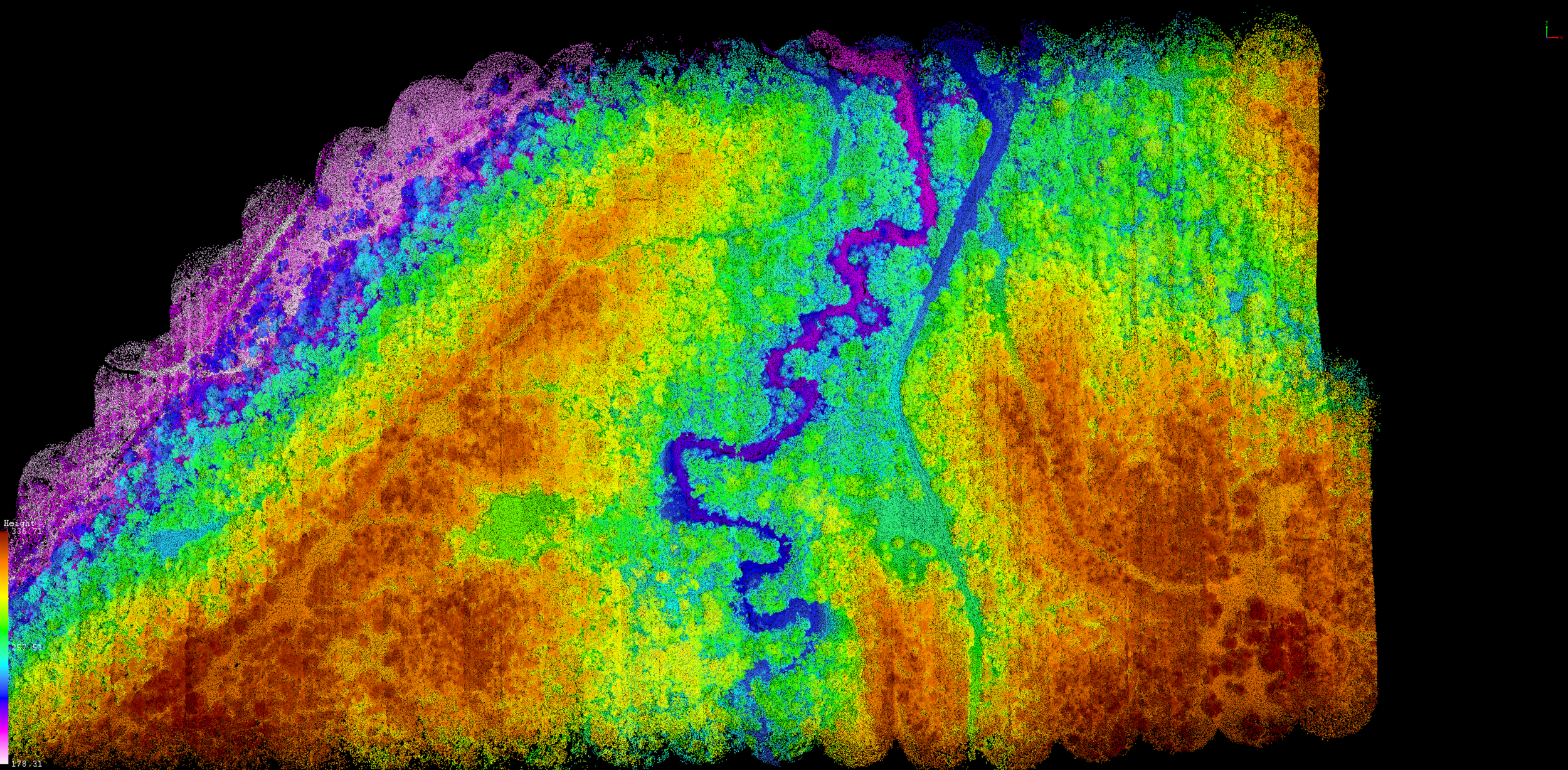
From conservationists and ecologists to urban planners and oil companies, any team can benefit from the coverage offered by LiDAR. With Aerial Point Clouds, your team can be shown detail depictions of your sites over time thanks to the help of hundreds of thousands of precision points—such density of aerial points offering your team access to vegetation density, elevation variation, and hyper accurate 3D modeling.
-
![]()
Rapid LiDAR Deployment. Zero Delays.
When your project timeline is tight, we move fast. Our expert LiDAR teams mobilize and scan your site in record time, delivering the high-precision data you need without the wait.
-
![]()
Next-Generation Drone LiDAR Technology
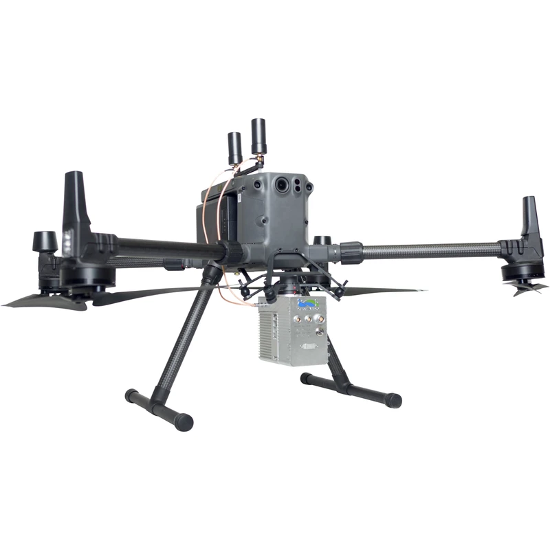
Speed means nothing without accuracy. We utilize industry-leading, high-density drone LiDAR systems capable of penetrating dense vegetation and capturing millions of precise data points per second. The result? Survey-grade topographical models you can trust, delivered with unmatched efficiency.
-
![]()
From Raw Data to Actionable Insights
We don't just hand over a massive file and walk away. Our rapid processing pipeline transforms millions of data points into the exact, ready-to-use formats your team requires. Whether you need classified point clouds, bare-earth DEMs, or CAD-ready contours, we deliver clean, survey-grade data seamlessly integrated into your workflow.

DON’T SETTLE FOR LESS.
GET OUR TEXAN DRONE BEST.
Our teams precision accuracy and industry leading LiDAR technology gives us the capacity to track and document intricate details beyond what traditional methods offer, making it especially effective for capturing stretches of surfaces hidden by undergrowth, trees, and various vegetation types without concerns of destroying foliage.
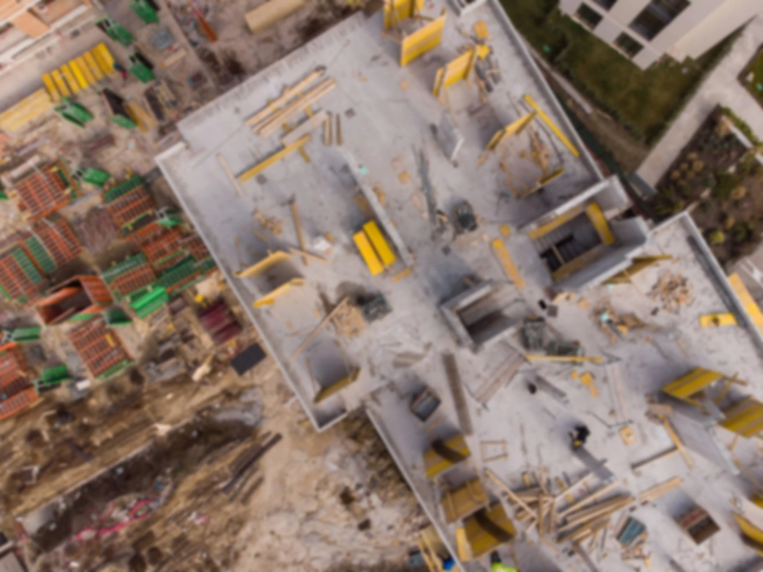
Our team is WHAT YOU REALLY NEED.
OFFERiNG COVERAGE
All over texas, And beyond.
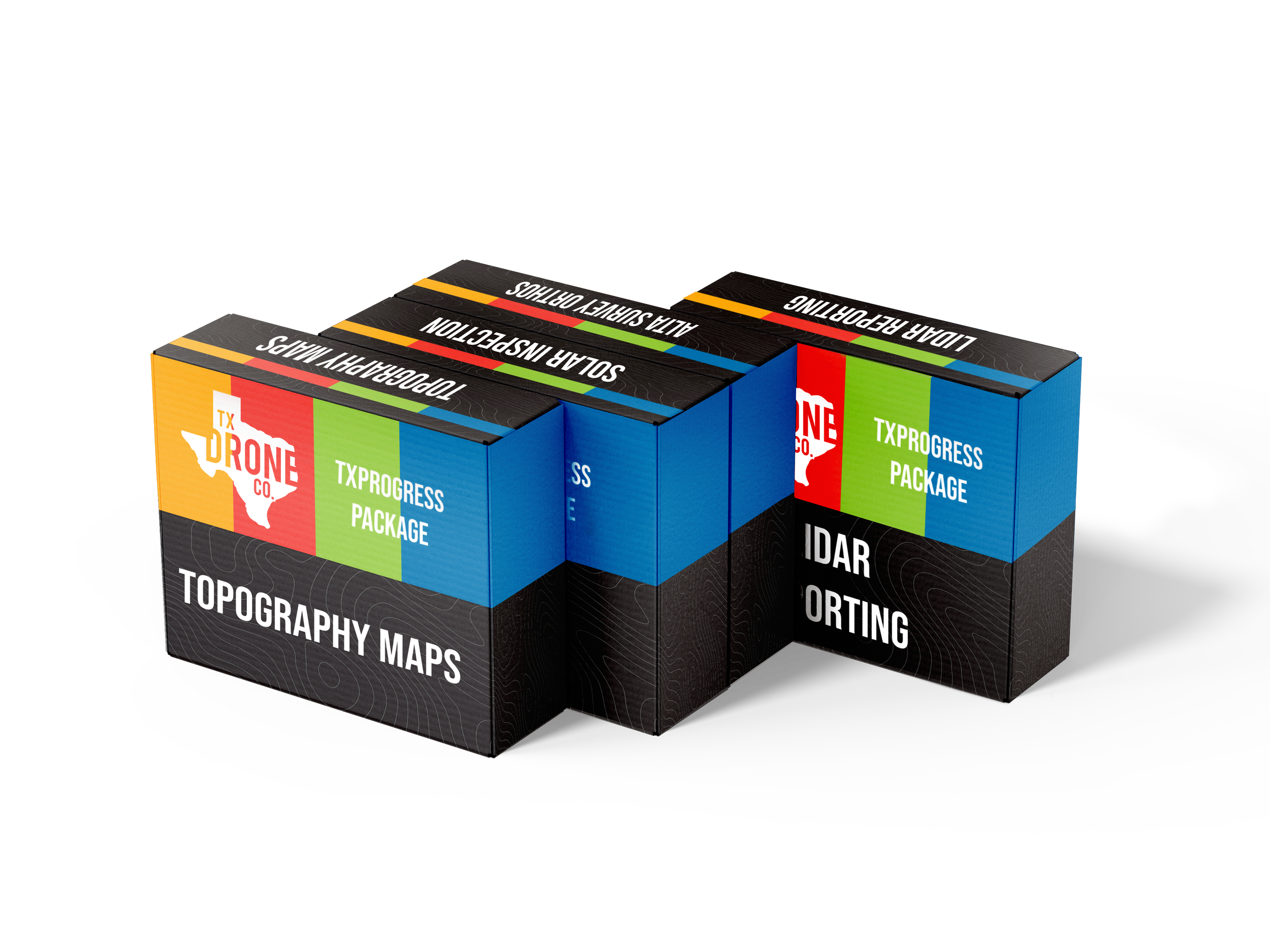

Get in touch
Today!

Bring the future of drones to your next project.
Reach out to us and tell us how we can bring our best to your next project.