txstockpile
Quarry Yards
All the Details. None of the Stress.
Challenges
in Quarries
Quarry operations exist on a scale that makes traditional surveying both a bottleneck and a hazard. When you are moving mountains, "approximate" measurements lead to massive downstream errors in production and profit. We solve the four primary friction points of quarry management.
Large,
Complex
Stockpiles
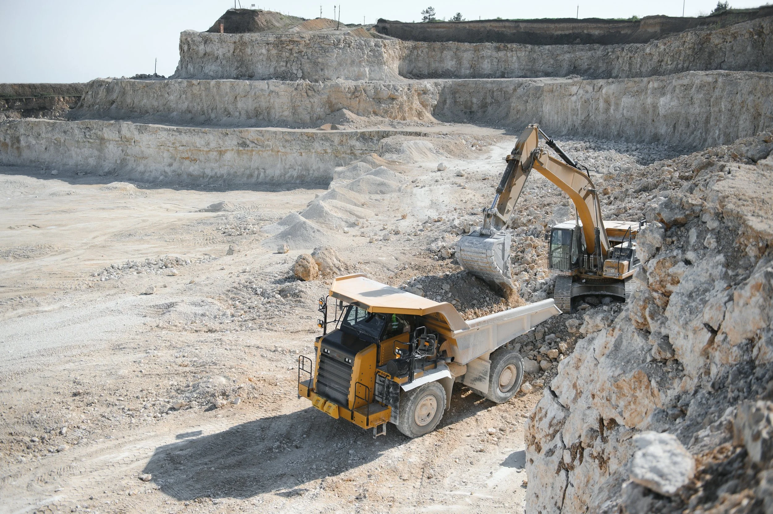
When your inventory stretches across acres or towers over your equipment, traditional "point-and-shoot" surveying fails. Large-scale stockpiles, especially those with irregular boundaries or multiple peak points, require a sophisticated data model that ground-based GPS simply can’t build.
Inventory
and sale
discrepancies
In a high-output quarry, the most significant financial discrepancies occur between production and the point of sale. When your belt scales at the crusher and your loader scales in the yard don't align with your physical inventory, it creates a "reconciliation gap" that can grow into a massive liability. Texas Drone Company provides the physical audit necessary to close that gap.
Limited
Visibility
Across Large Sites
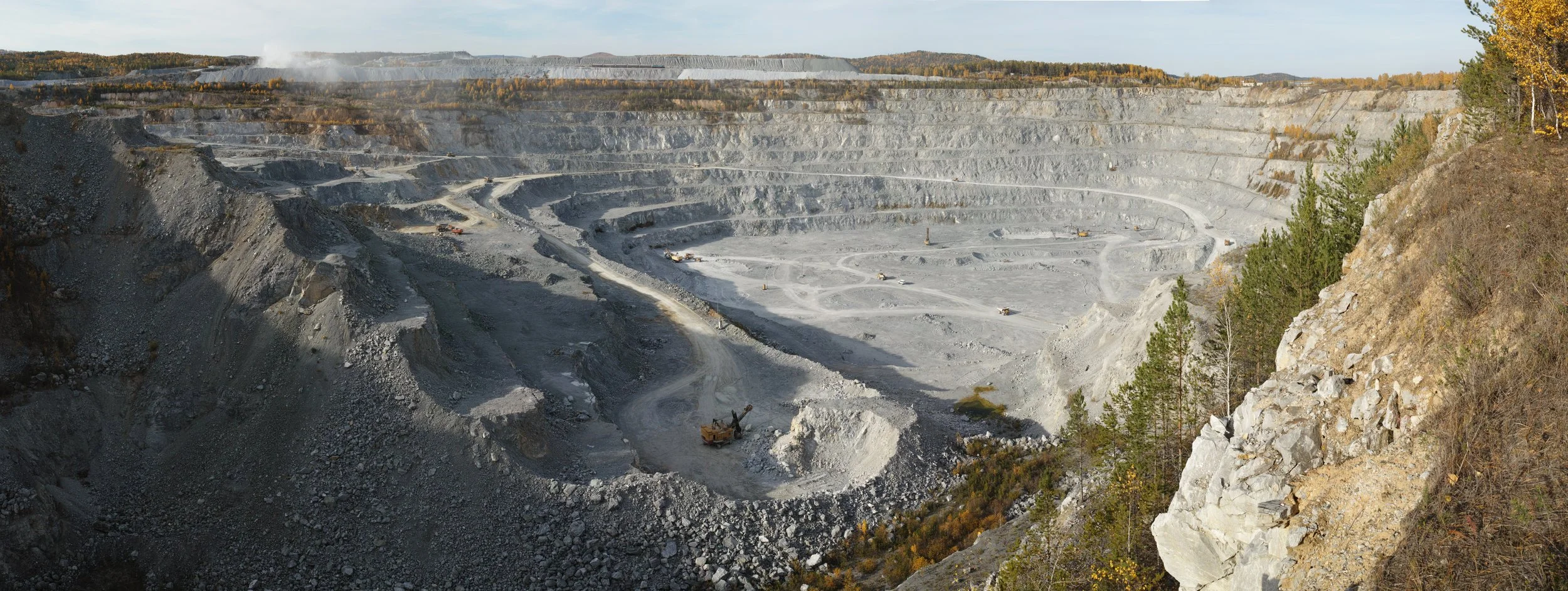
When a quarry or landscape yard spans hundreds of acres, a Manager simply cannot be everywhere at once. Ground-level inspections are limited by line-of-sight, terrain obstructions, and the sheer time it takes to traverse the property. This "limited visibility" leads to reactive decision-making and hidden operational inefficiencies.

HOW WE SOLVE IT.
Comprehensive
Aerial Viewpoints
Remote monitoring any site, anytime, anywhere.
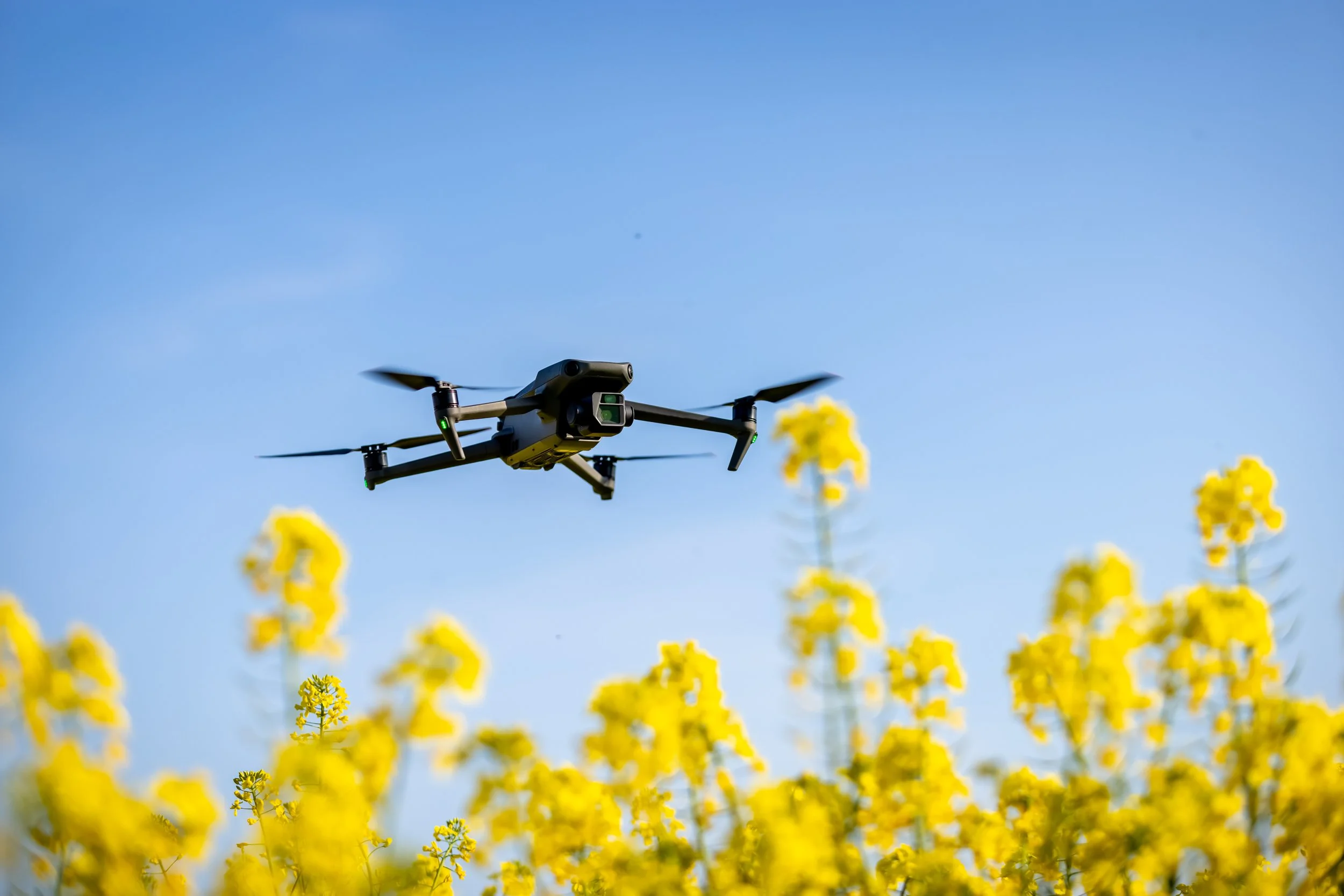
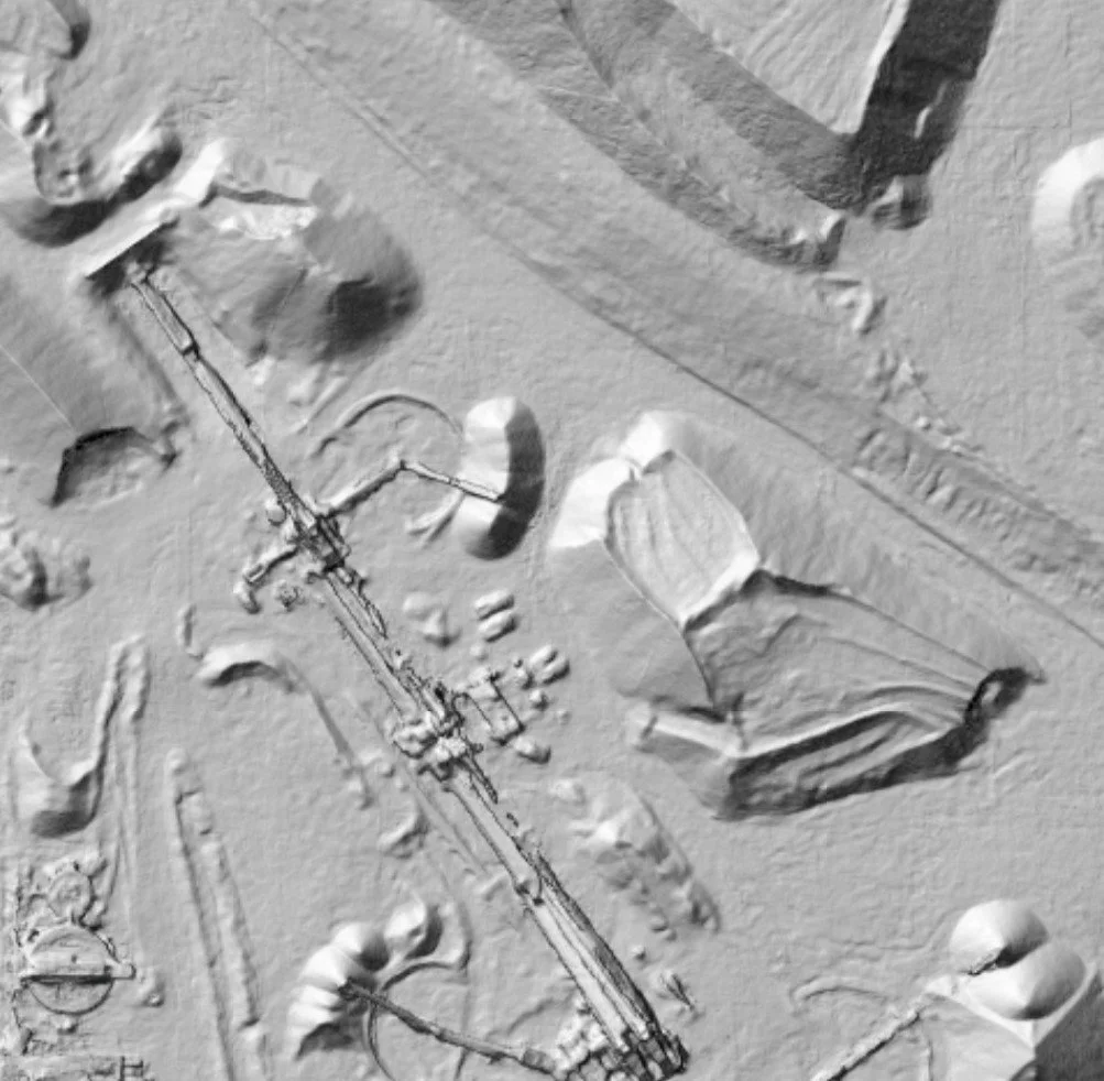
Beyond the benefits and luxury of being able to see your site in 3D, having drones fly and document your site gives you the chance to see full aerial coverage of your site without needing to invest in expensive crane capturing, or needing to hand calculate heights to properly gauge volumetric data. With the click of a button, you’re able to see your site from top down, full 3D, any perspective your team can imagine. All stress free, all thanks to drones.
Advanced
Drone Captures
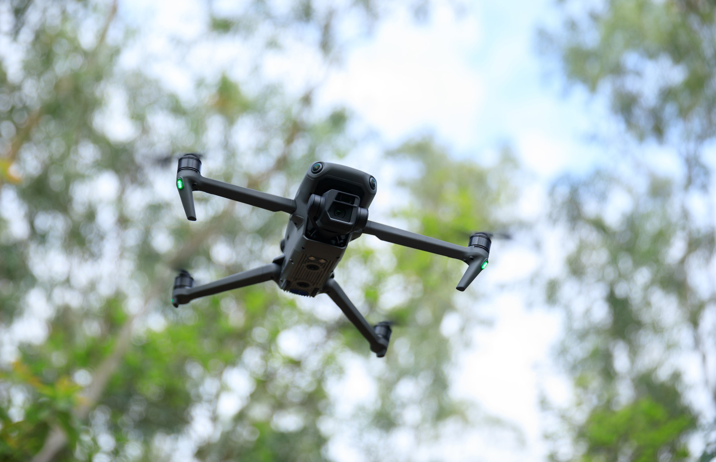
Volumetric captures made via 3D models bring a precision to measurements you can’t get with just putting gloves and boots to your site. With our advanced drone deployment, we’re able to bring you exact measurements down to the particular creases of each corner of your quarry, without ever needing to step foot inside. No matter how massive or irregular the space may be, our advance drone technology will measure it with ease.
Capturing your entire quarry in high-resolution 3D
3D model records
High quality documentation over time
Being able to compare and contrast your last flights at any time is one of the many great features of working with Texas Drone Company, and that’s even before you get to enjoy the luxury of having your site mapped entirely in 3D. With our help, your team can see your site from any angle at an hour, ensuring your able to calculate your next moves down to the inches your piles have shifted—All without ever needing to step foot outside.

ADVANTAGES
1
EVERYWHERE
AT ONCE
Instead of relying on scattered reports or site-by-site updates, your team gets access to consistent, up-to-date inventory data across every location on one centralized platform.
INTERACTIVE
WEB PORTAL
An interactive web portal for viewing stockpile volume reports makes inventory data far more accessible and actionable, giving your team access to the latest measurements and trackers through frequently updated maps, dashboards and visibility charts.
2
THIRD PARTY
SUPPORT
With third party support, your team is provided objective, accurate, efficiently delivered data that’s difficult to achieve internally. With experts handling the capture and processing of measurements, your team gains dependable insights into their inventory without the time, equipment, and training required to manage it yourselves.
3


Get a Quote
Today!
Bring the future of drones to your next project.
Get in touch with our team and get a quote, our team can’t wait to hear from you!