txstockpile
Landscaping
All the Details. None of the Stress.
problems hidden under the Mulch.
In a high-volume material yard, the biggest threats to your bottom line are often the ones you can't see from the ground. Traditional "eyeballing" or manual surveying assumes every pile sits on a flat, clean surface, but the reality of a working landscape yard is far more complex.

Irregular Stockpile Shapes.
Frequent Movement.
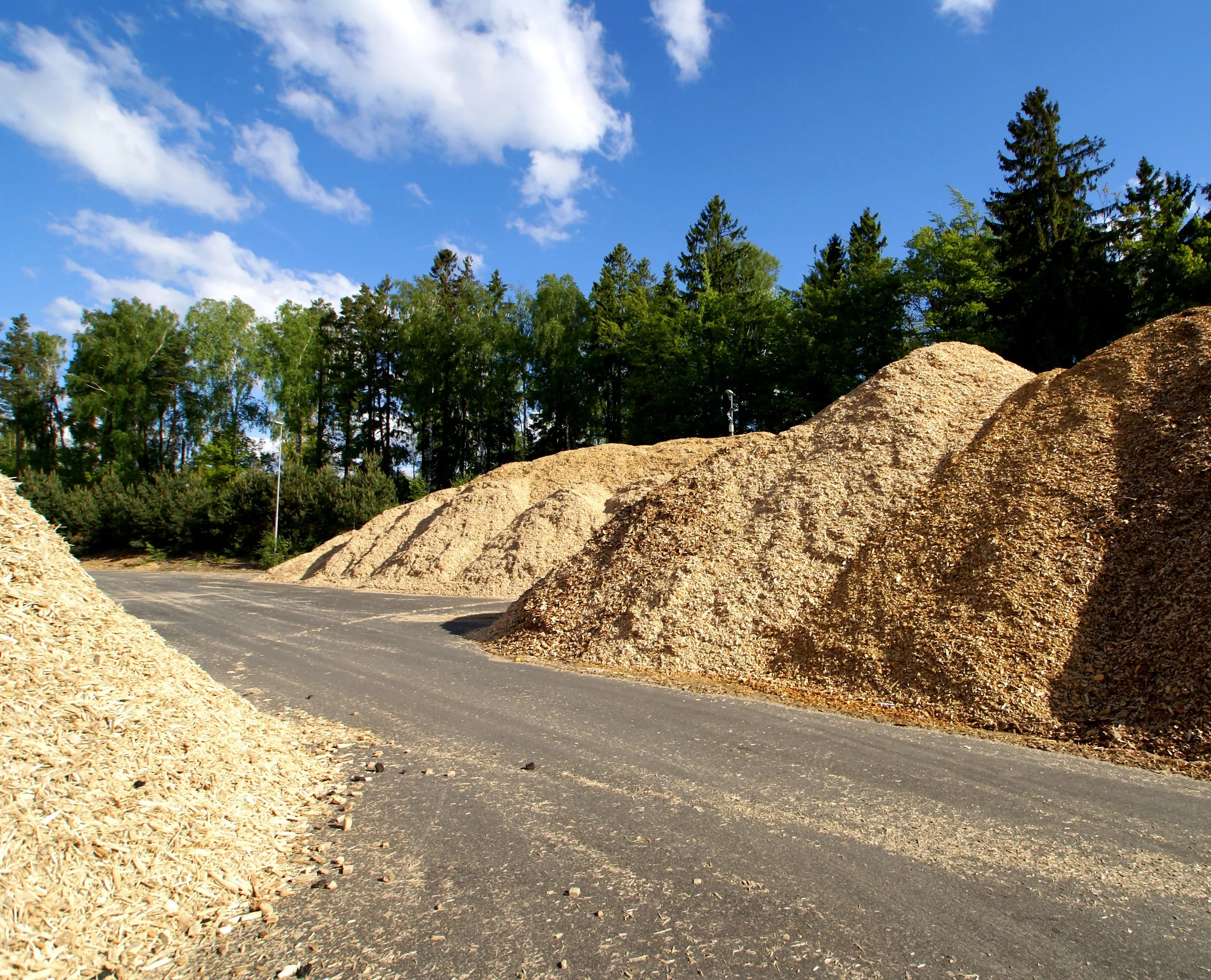
In a busy landscape yard, stockpiles are rarely perfect cones or neat rectangles. Between daily load-outs, new deliveries, and the natural slumping of materials, your inventory is in a state of constant flux. Manual measurements and "eyeballing" simply cannot keep up with the chaotic geometry of a high-volume yard.
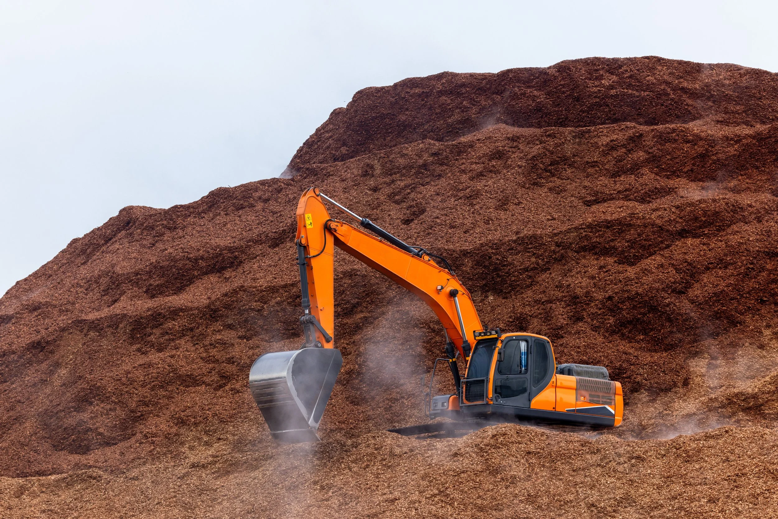
Loaders frequently "carve out" sections of a pile, leaving behind steep vertical faces, hollowed-out centers, or sprawling "toes." Traditional ground-based GPS points miss these nuances. Our drones capture a complete 3D mesh of the entire surface, ensuring that every irregular scoop and jagged edge is factored into the final volume.
a Variety
of Materials
In a high-traffic landscape yard, no two piles behave the same way. From the density of crushed limestone to the high-compaction nature of organic soils, a "one-size-fits-all" estimation approach is a recipe for inventory disaster. Texas Drone Company utilizes specialized algorithms tailored to the specific physics of your inventory.
Inventory Loss and
Shrinkage
In the landscape supply industry, "shrinkage" is rarely the result of theft—it’s the result of physics. If you aren't measuring with survey-grade precision, you are likely carrying "ghost inventory" on your books that doesn't exist in your yard. Texas Drone Company identifies these discrepancies before they turn into massive year-end write-offs.
When it’s time for a financial audit, "I think we have enough" isn't a valid answer. We provide a third-party, verifiable report that stands up to professional scrutiny, ensuring your balance sheet matches the reality of your inventory.

HOW WE SOLVE IT.
One Flight - All Piles
Drone surveys Track Piles Individually
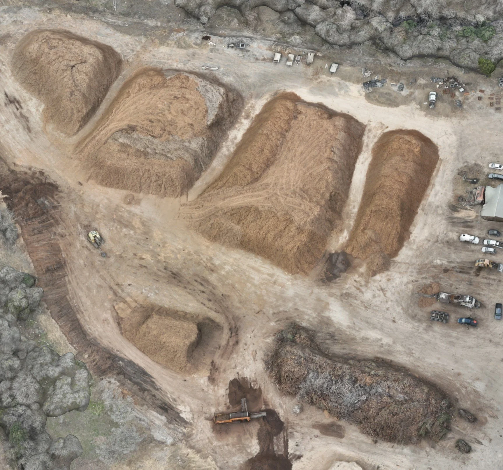
Our drone surveys segment and measure your entire yard in a single flight. Instead of manual, pile-by-pile counting, we capture the data for every material type simultaneously—delivering individual volume reports for your mulch, stone, and soil in one streamlined pass.
3D Drone Models
Accurately capturing irregularly shaped piles, improving volume estimations.
A spreadsheet can tell you a number, but a 3D drone model shows you the reality of your landscape yard. We don't just provide a static volume report; we deliver a high-resolution, interactive digital twin of every stockpile in your inventory.
By "stacking" 3D models from different months, you can visually track inventory depletion and growth. This "time-machine" capability is invaluable for identifying exactly when and where shrinkage occurred, providing a level of transparency that traditional surveying can't touch.
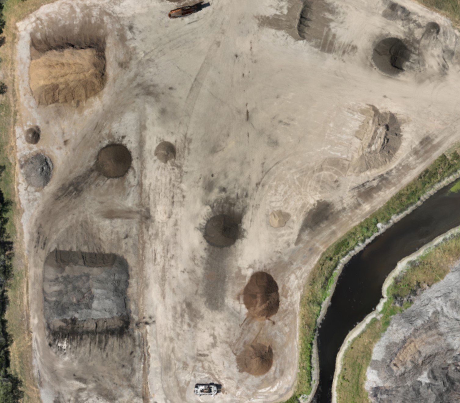
Don’t miss volume loss, material disappearances or other changes that can go unnoticed
Drone Inventory Surveys
In a landscape yard, inventory doesn't just disappear—it changes. If you aren't looking from the right angle, you're missing the subtle shifts that bleed your bottom line. Our high-frequency drone audits act as a "security camera" for your volumetric data, flagging discrepancies before they become financial liabilities.
Organic materials like mulch and soil compress over time. We track these volumetric changes, ensuring your books reflect sellable yards, not "ghost" inventory.

ADVANTAGES
1
EVERYWHERE
AT ONCE
Instead of relying on scattered reports or site-by-site updates, your team gets access to consistent, up-to-date inventory data across every location on one centralized platform.
INTERACTIVE
WEB PORTAL
An interactive web portal for viewing stockpile volume reports makes inventory data far more accessible and actionable, giving your team access to the latest measurements and trackers through frequently updated maps, dashboards and visibility charts.
2
THIRD PARTY
SUPPORT
With third party support, your team is provided objective, accurate, efficiently delivered data that’s difficult to achieve internally. With experts handling the capture and processing of measurements, your team gains dependable insights into their inventory without the time, equipment, and training required to manage it yourselves.
3


Get a Quote
Today!
Bring the future of drones to your next project.
Get in touch with our team and get a quote, our team can’t wait to hear from you!