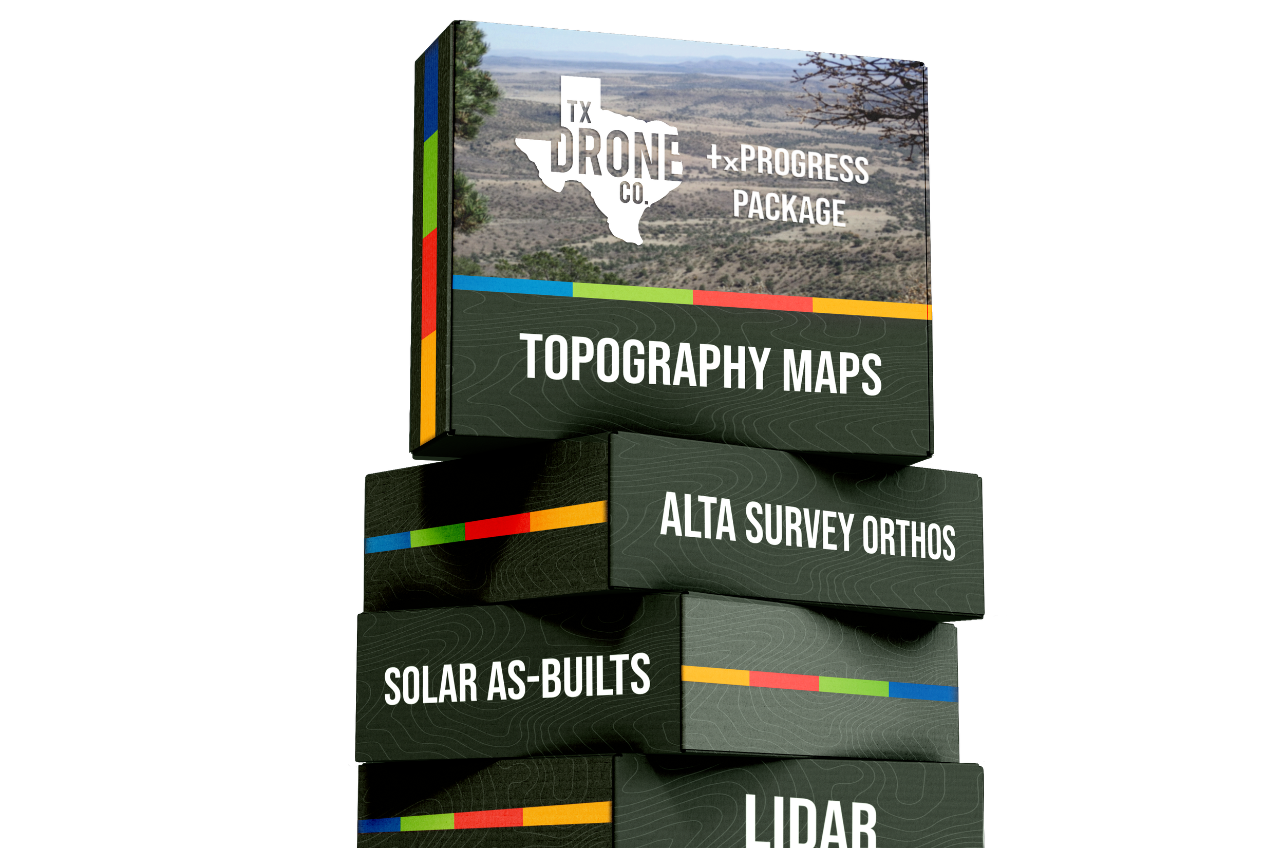
Save time and increase safety
with cut/fill maps in days, not weeks.
Drone
Topo Maps
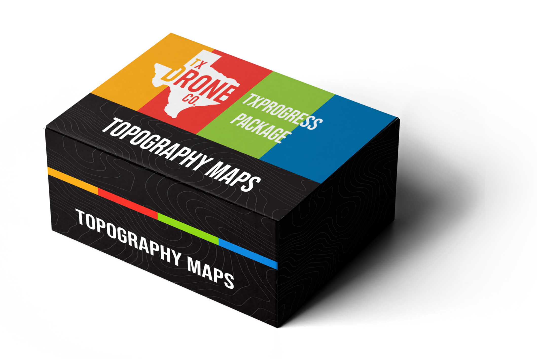
Aerial Mapping
Across the USA.

Texas Drone Company provides timely, accurate aerial services all over Texas, Oklahoma, Arkansas, and More.
While we are not professional surveyors (We don’t delineate property boundaries), we utilize the proper equipment to collect and deliver accurate maps, contours, and point clouds to save you time and money.

Options includes...
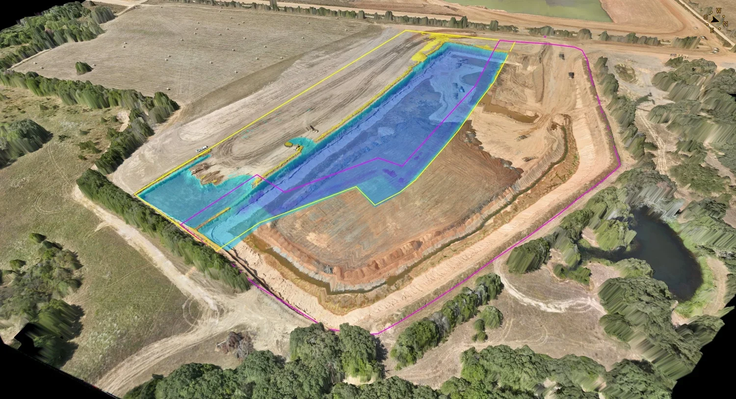
CUT/FILL MAPS
When working on a new site or existing, your team needs to know how much fill to bring in or take out. Maybe you need to accurately measure a surface over time. Our ability to fly the same mission again and again provides you with reliable and accurate data faster than ever.
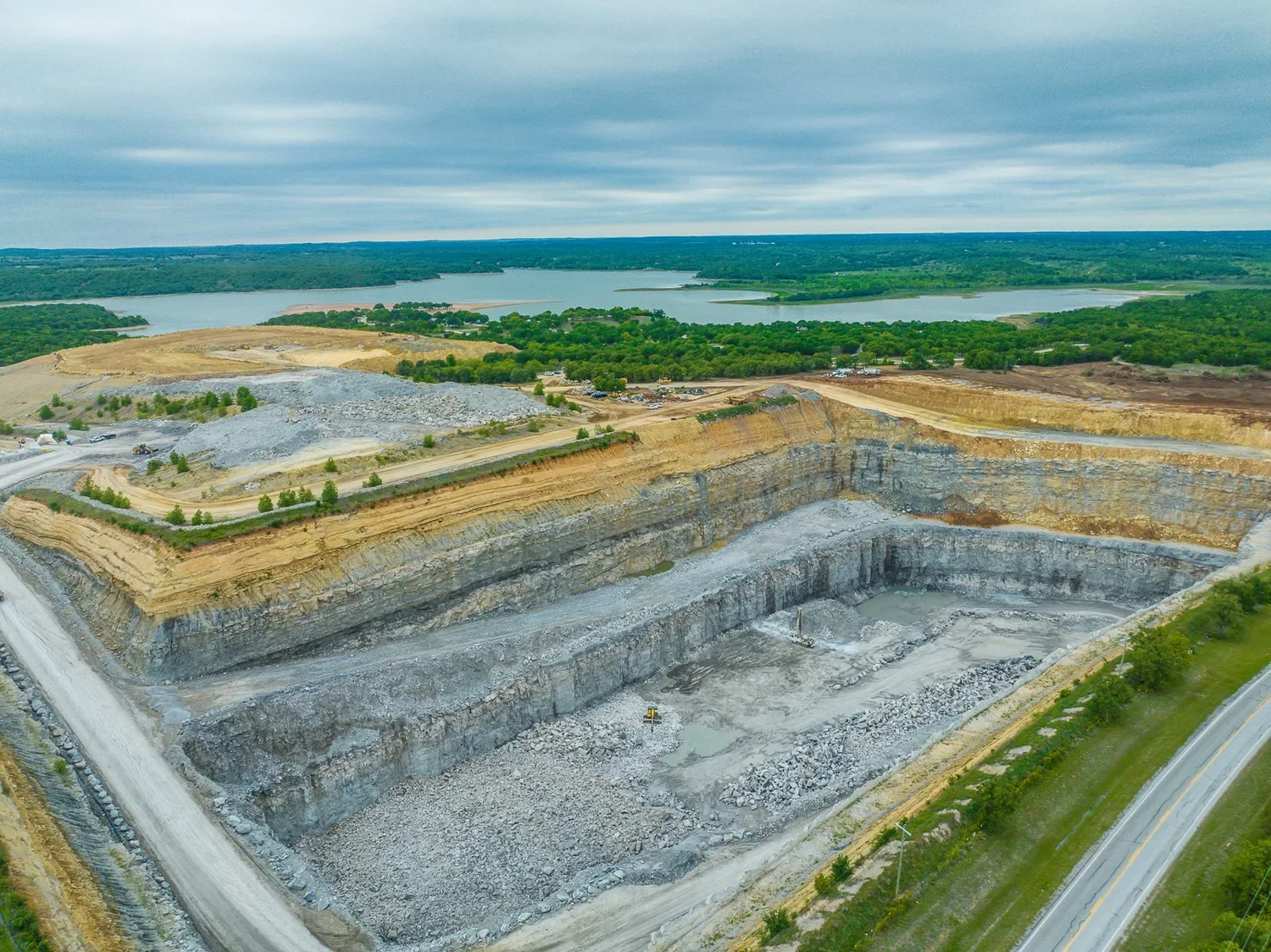
Stockpiles
Drones are quickly replacing antiquated methods of keeping track of your inventory—txDroneCo services industry leaders via aerial view of the site month after month, and keeping their inventory on track.
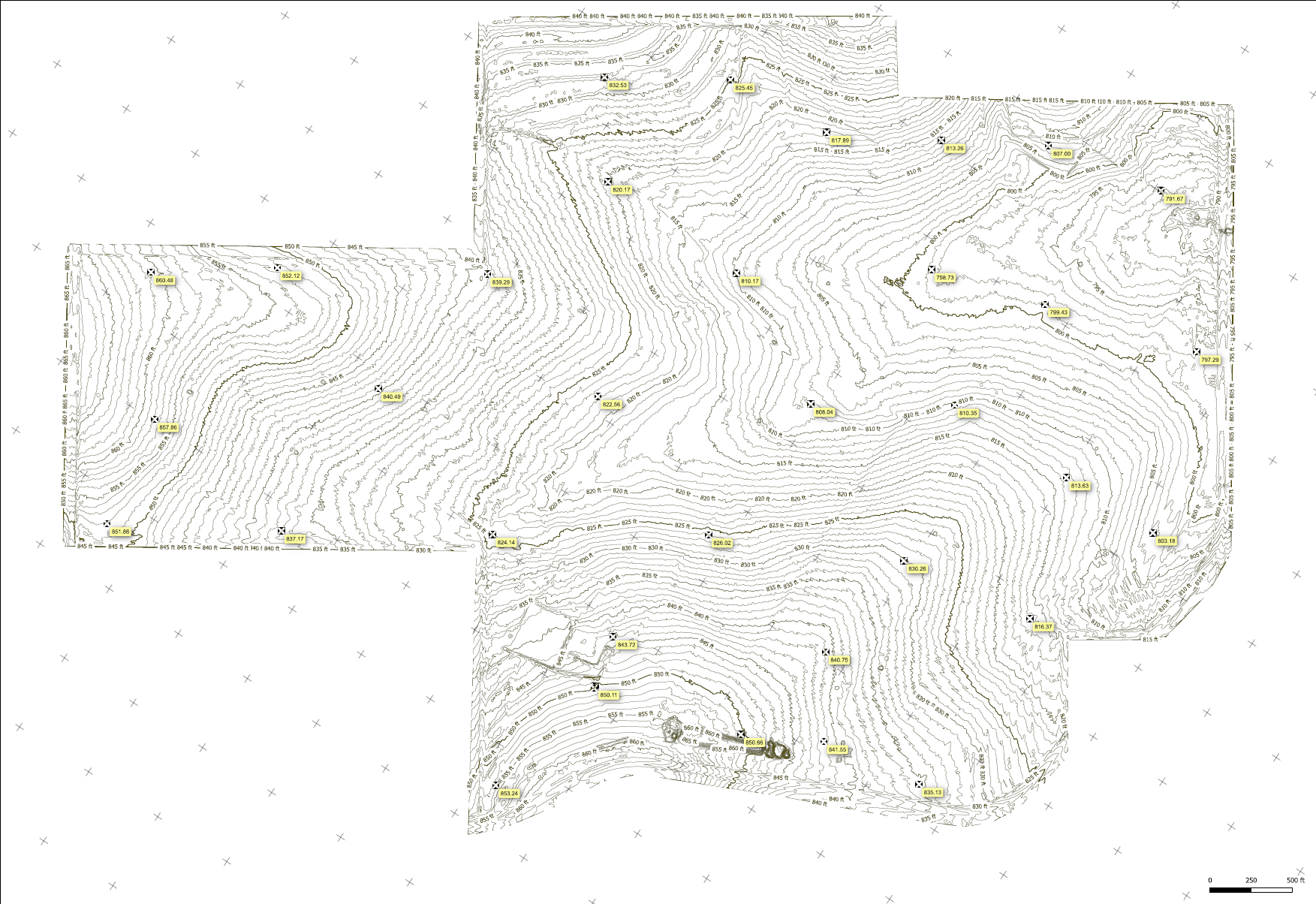
Drone Topo Maps
txDroneCo can provide contour lines based on photogrammetry from drones. Why hire an expensive firm to know what kind of terrain you're dealing with? With a quick flight and our industry-leading processing, txDroneco delivers relevant contour lines and topo-view.

Topographic Mapping
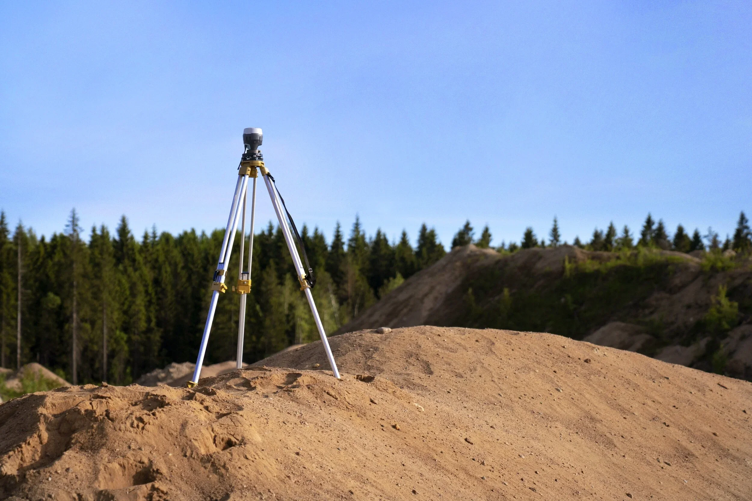
Our drones are equipped with advanced LiDAR and photogrammetry sensors to ensure precise elevation data collection. We also utilize survey grade GNSS receivers to collect precise GPS data that we use for the processing of our drone data.
Our topographic mapping services are designed to provide you with comprehensive and highly accurate topographic data for your survey and engineering projects. Using state-of-the-art drone technology, we capture detailed elevation information, contours, and land features. Here's why our topographic mapping services stand out.

Precision
Efficiency
With our drones, we can cover large areas quickly and efficiently, reducing project timelines and costs compared to traditional survey methods. We can cover up to 500 acres per day.
CUSTOM TOPO MAPS
We tailor our topographic maps to your project's specific needs, whether it's for land development, environmental assessments, or infrastructure planning.

Already
Interested?
Check out our additional packages to find something that fits right for your next project!