…WHAT can influence the accuracy of your measurement?
&
Know your
Mounds.
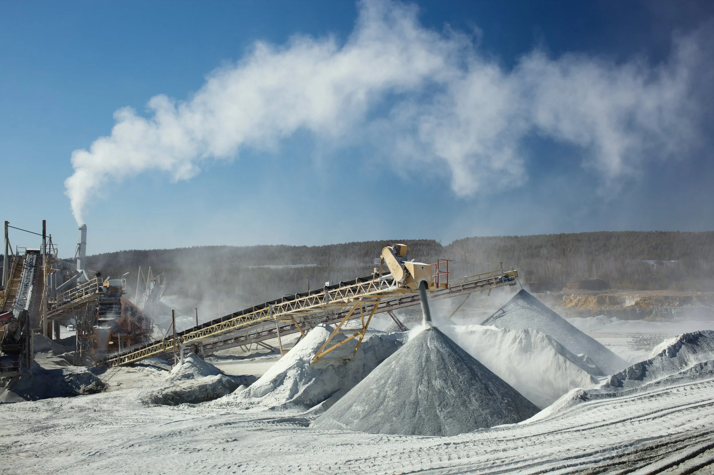
Accurate stockpile inventory starts with truly understanding what’s in front of you. Our stockpile inventory reports remove the guesswork by delivering precise, repeatable measurements of every mound on your site. Using advanced aerial mapping and consistent processing workflows, we calculate volumes with a high level of accuracy—so you can confidently plan, purchase, and report.
Outdated Methodology

WHAT’S HOLDING
YOUR SITE BACK?
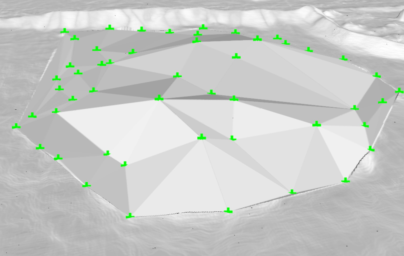
Traditional stockpile measurement methods rely on surveyors physically climbing piles and collecting a limited number of GPS points. While this approach has been used for years, it introduces significant uncertainty. A handful of points can’t fully capture the irregular shape, slopes, and surface variations of a stockpile, forcing the final volume to be based on assumptions rather than complete data.
Another common source of inaccuracy comes from inexperienced operators producing reports for competitors who promise repeatable, accurate results. Stockpile measurement isn’t just about flying a drone and generating a model—it requires an understanding of survey control, proper flight planning, surface classification, and consistent volume calculation methods. When these fundamentals are overlooked, the resulting reports can vary significantly from reality.
Amateurs working for “Professionals”
Why not trust the professionals to handle it?

The Texas Drone Difference.
What makes our process so successful.
Traditional
Survey
Climbing piles creates inconsistencies between measurements, and while different surveyors may choose different points, accessing different data areas can become a challenge as teams avoid steep and unstable sections altogether. These gaps lead to models that smooth over critical details and miss key sections of your stockpiles, which can compound into noticeable volume discrepancies—especially across larger or more complex stockpiles, cascading into greater issues.
Versus
Photo
Grammetry
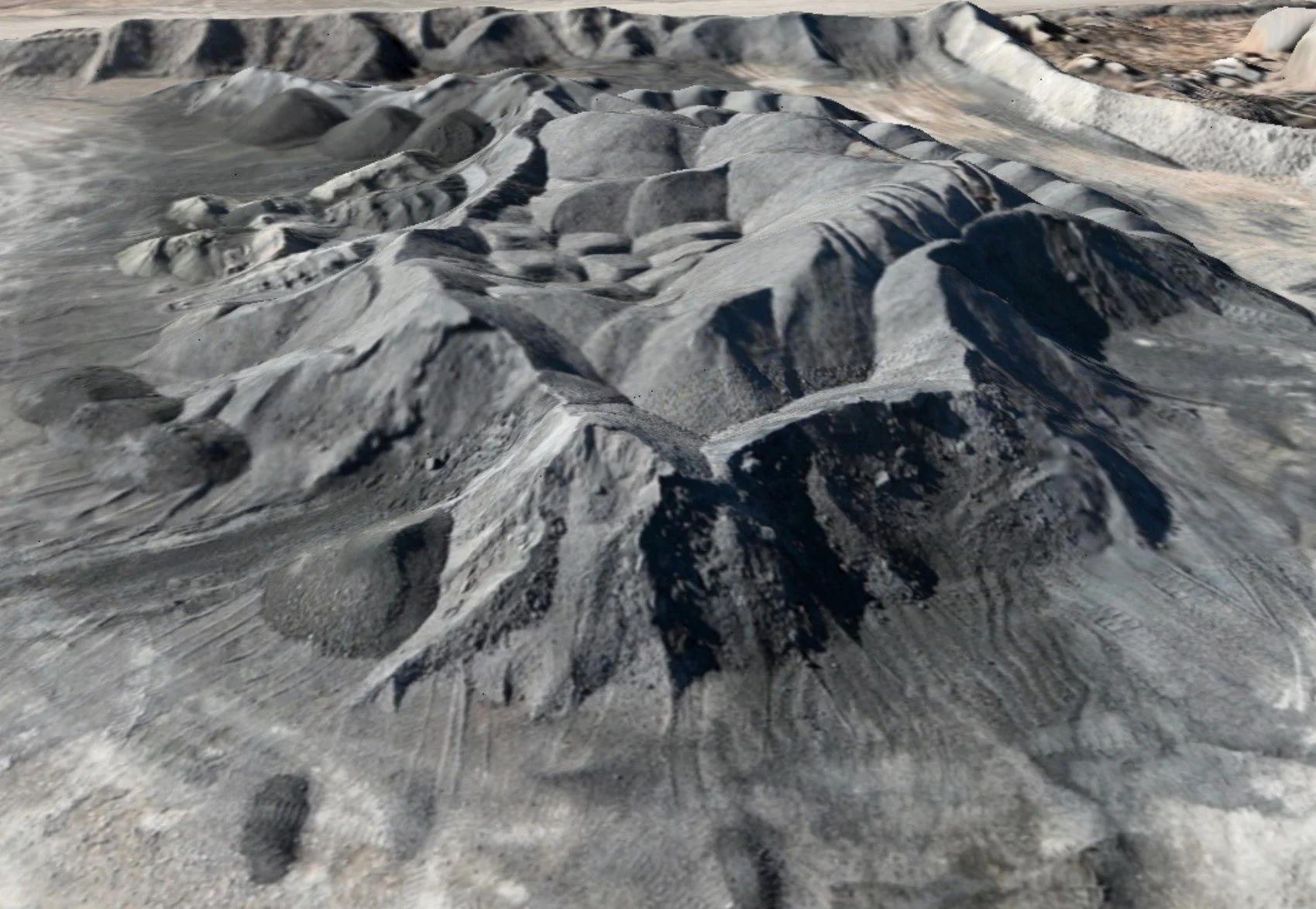
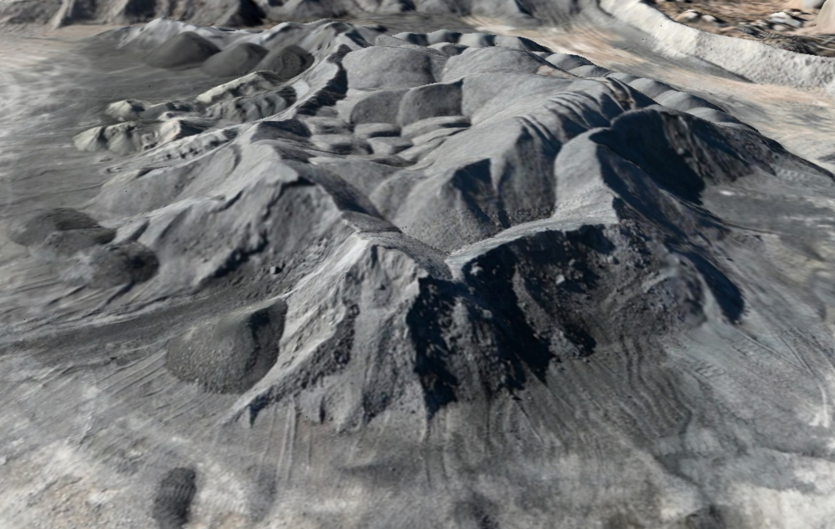
Photogrammetry provides a superior approach to stockpile inventory reporting by capturing the complete surface of every pile with dense, high-resolution data. Instead of relying on a limited number of points or rough estimates, photogrammetry generates detailed 3D models built from thousands to millions of measured locations across your site. This comprehensive coverage ensures that irregular shapes, steep slopes, and subtle surface variations are accurately represented in the final calculations.
The fewer details
you capture,
the more certainty
you lose.
Why Does
It Matter?
-
In the aggregates, mining, and construction industries, "close enough" isn't good enough for your inventory. When your financial audits and operational workflows depend on the volume of your materials, you need more than a "guesstimate."
Texas Drone Company provides survey-grade stockpile reports that replace slow, risky, and inconsistent manual measurements with rapid, high-fidelity aerial data.
-
When it comes to financial and regulatory compliance, an internal estimate is just a claim—a Texas Drone Company report is a verified fact. Most industrial operations are required to pass rigorous annual audits, and relying on internal "best guesses" is a significant liability. Our third-party reporting provides the independent, survey-grade validation necessary to satisfy auditors, lenders, and stakeholders by delivering an unbiased "source of truth" that internal teams simply cannot provide.
-
Eyeballing a stockpile or relying on "bucket counts" isn't a strategy—it’s a gamble. In an industry where a 5% margin of error can represent hundreds of thousands of dollars in lost revenue or tax liabilities, you can’t afford to operate on assumptions. Texas Drone Company replaces "gut feelings" with high-precision reality.


Get a Quote
Today!
Bring the future of drones to your next project.
Get in touch with our team and get a quote, our team can’t wait to hear from you!