DRONES IN
CONSTRUCTION
SPOT PROBLEMS EARLY. KEEP STAKEHOLDERS INFORMED. BUILD WITH CONFIDENCE.
Even if your team has its own documentation team and process, documentation taken by a human hand can have unforeseen caveats. Depending on who captured the documentation and the tools that they used, there’s risks of measurements being inconsistent if you don’t reliably use high quality tools, and keep your team on a consistent monthly, if not weekly regiment of documentation.
Communication between team members and project leads is essential to ensuring your plan continues on schedule—but without accurate documentation of your site, or archives that show of the progression of your project, it can become a hassle to plan around the if’s, and’s, or but’s that arise from lack of awareness, and lack of proper planning options.
Preparing team members to go through FAA training to even begin utilizing the technology you need to do professional grade capturing is its own roadblock, filled with different fees you need to account for, training programs you need to pass before you can even legally fly, and more.
2. Communication disruption
1. FAA COMPLIANCE


Problems Hidden
in plain sight.
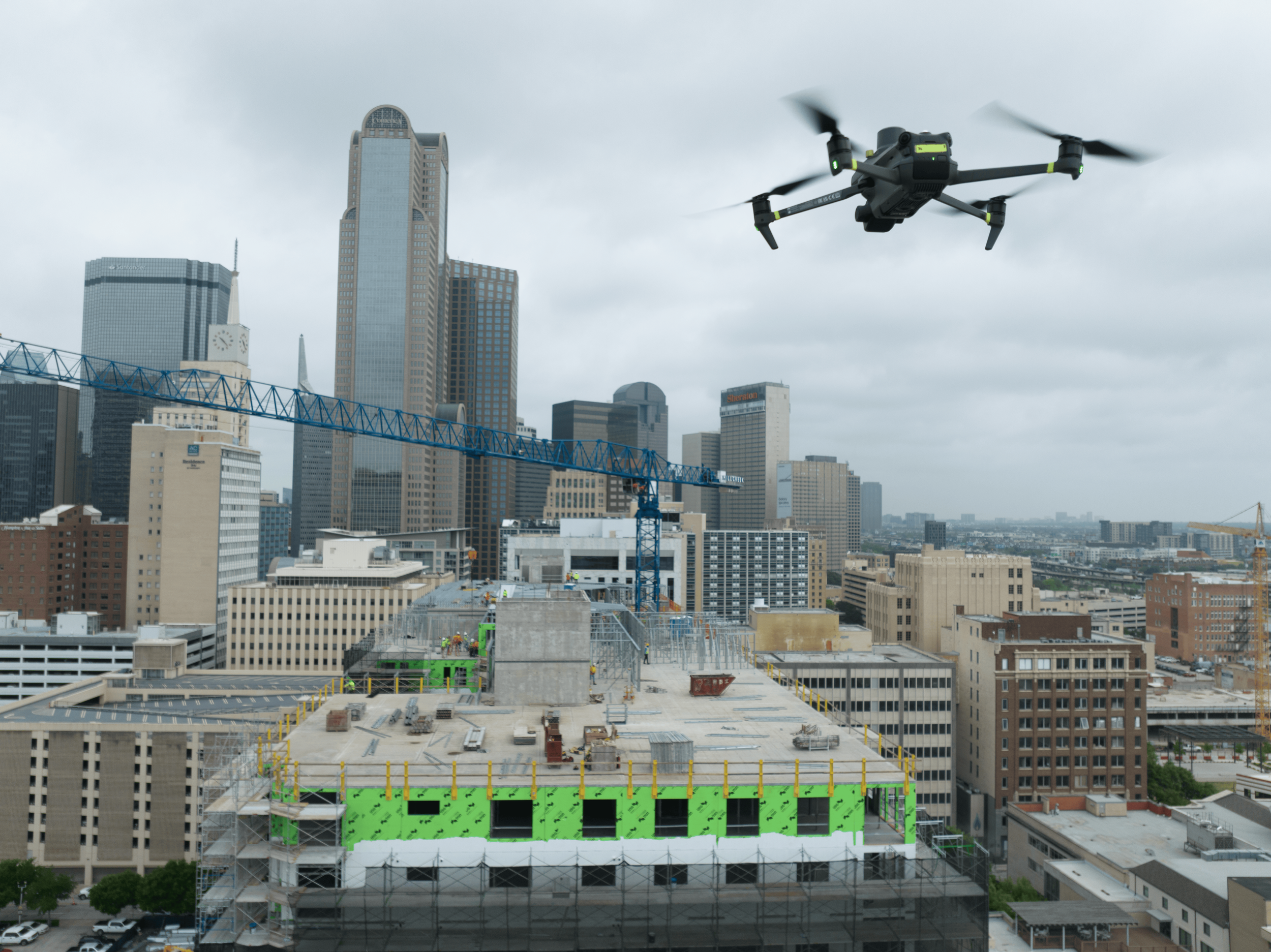
txDroneCo prides itself in ensuring your time, money, and energy aren’t wasted when dealing with drones in construction. There’s countless issues your team may be unaware of when beginning to plan for your next project, and it’s our job to help you recognize where your team can stumble to make sure we don’t let you fall.
SOLUTION:
3. INCONSISTENT DOCUMENTATION
Accurate, WEB
BASED DELIVERY.
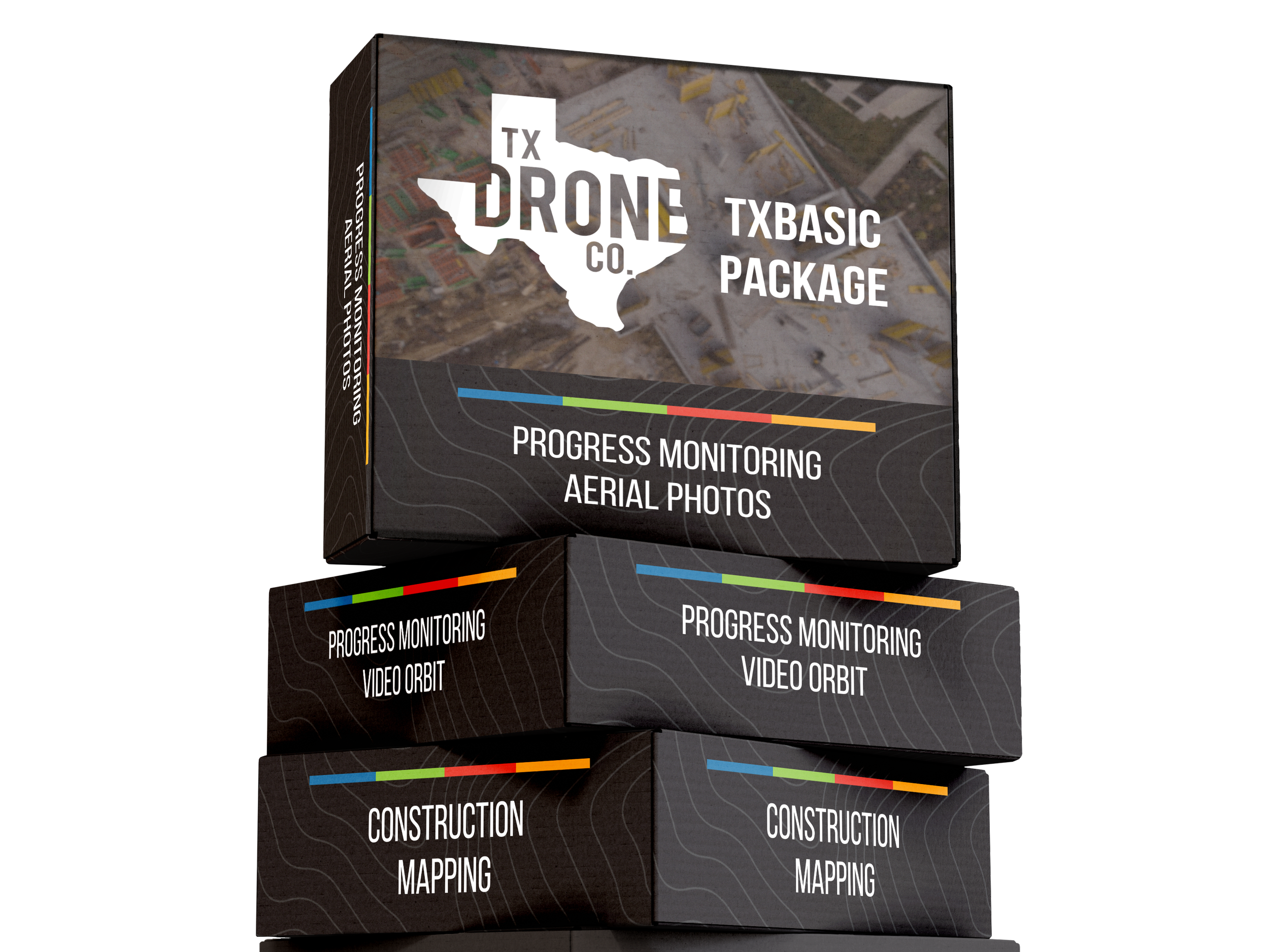
Instead of stressing them out as they try to learn to fly according to FAA rules, trust our dedicated pilots who’re trained and experienced to fly in any kind of airspace and situation, who’ll capture beautifully edited and annotated videos for you of your sites.
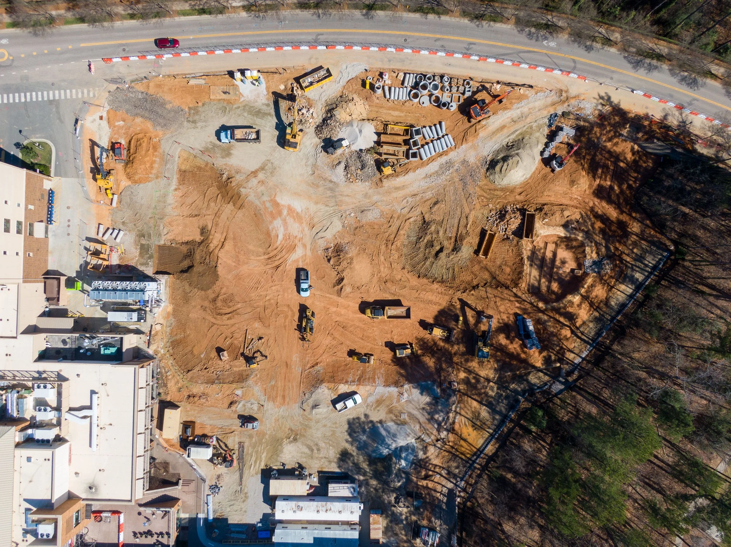
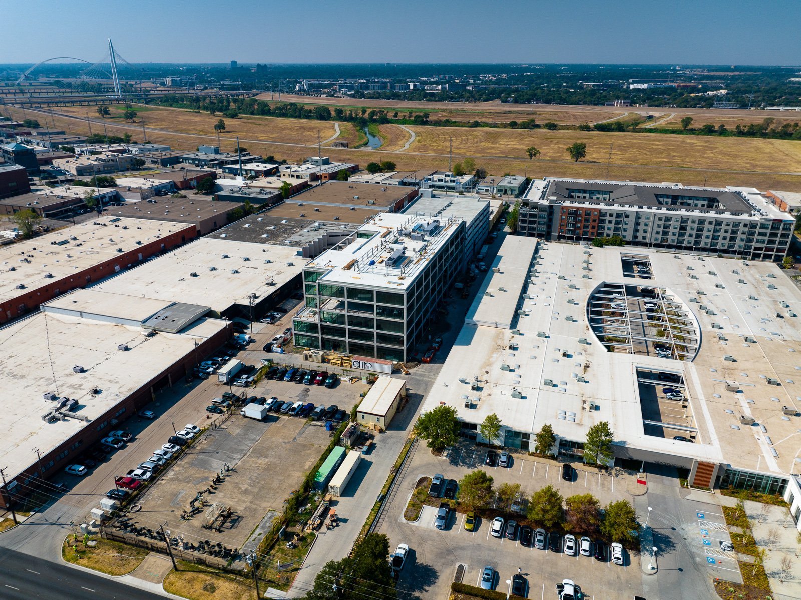
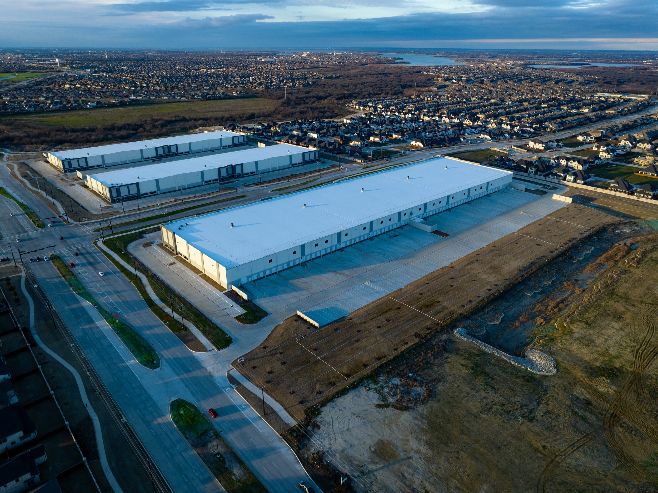
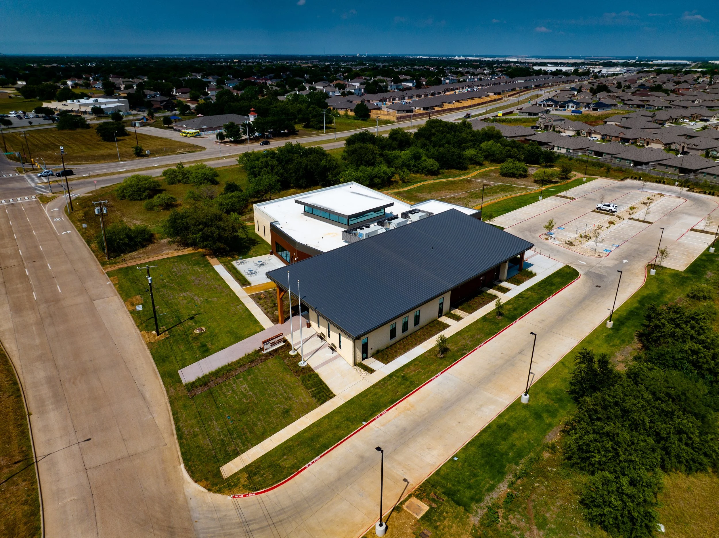
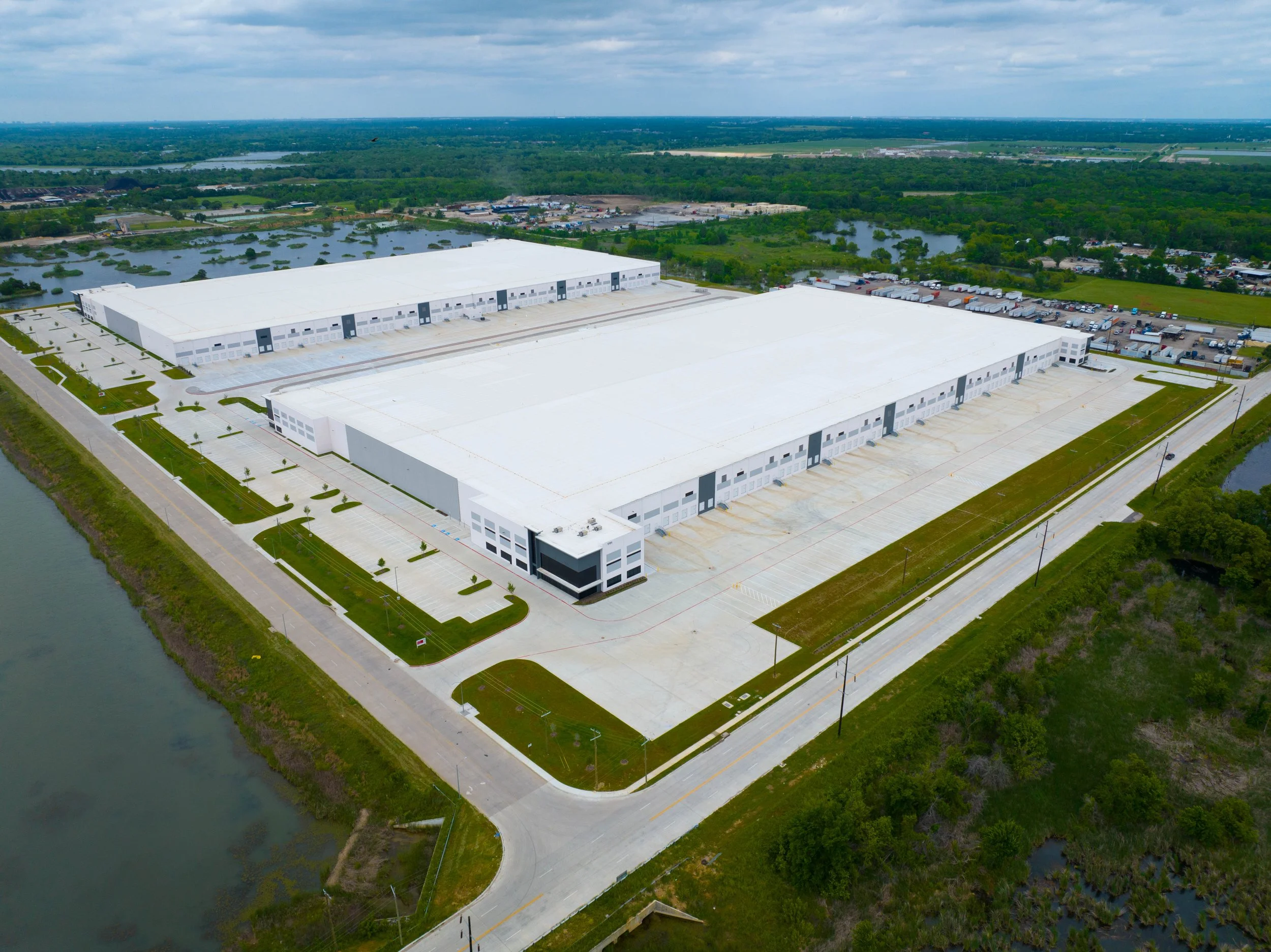
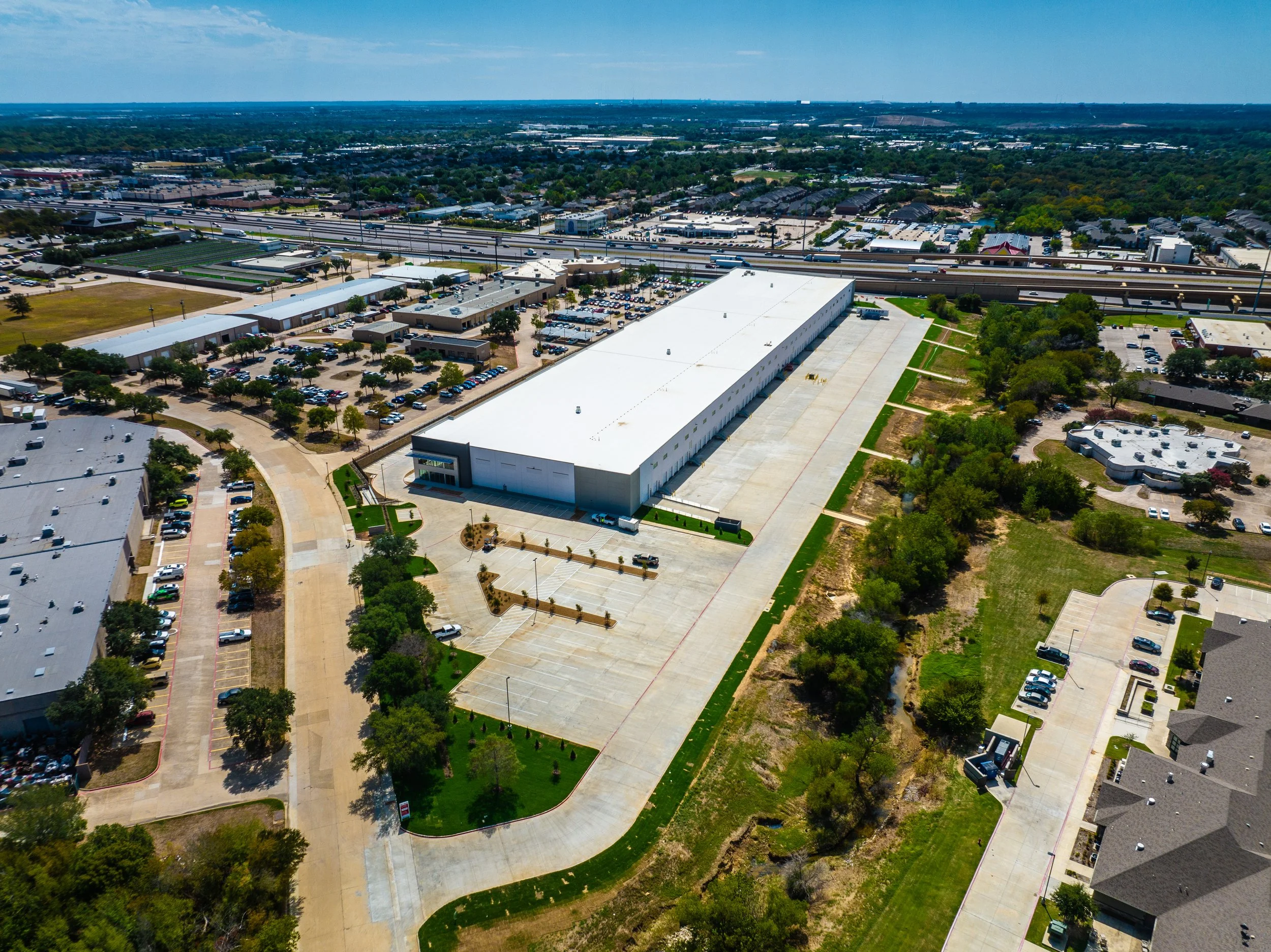
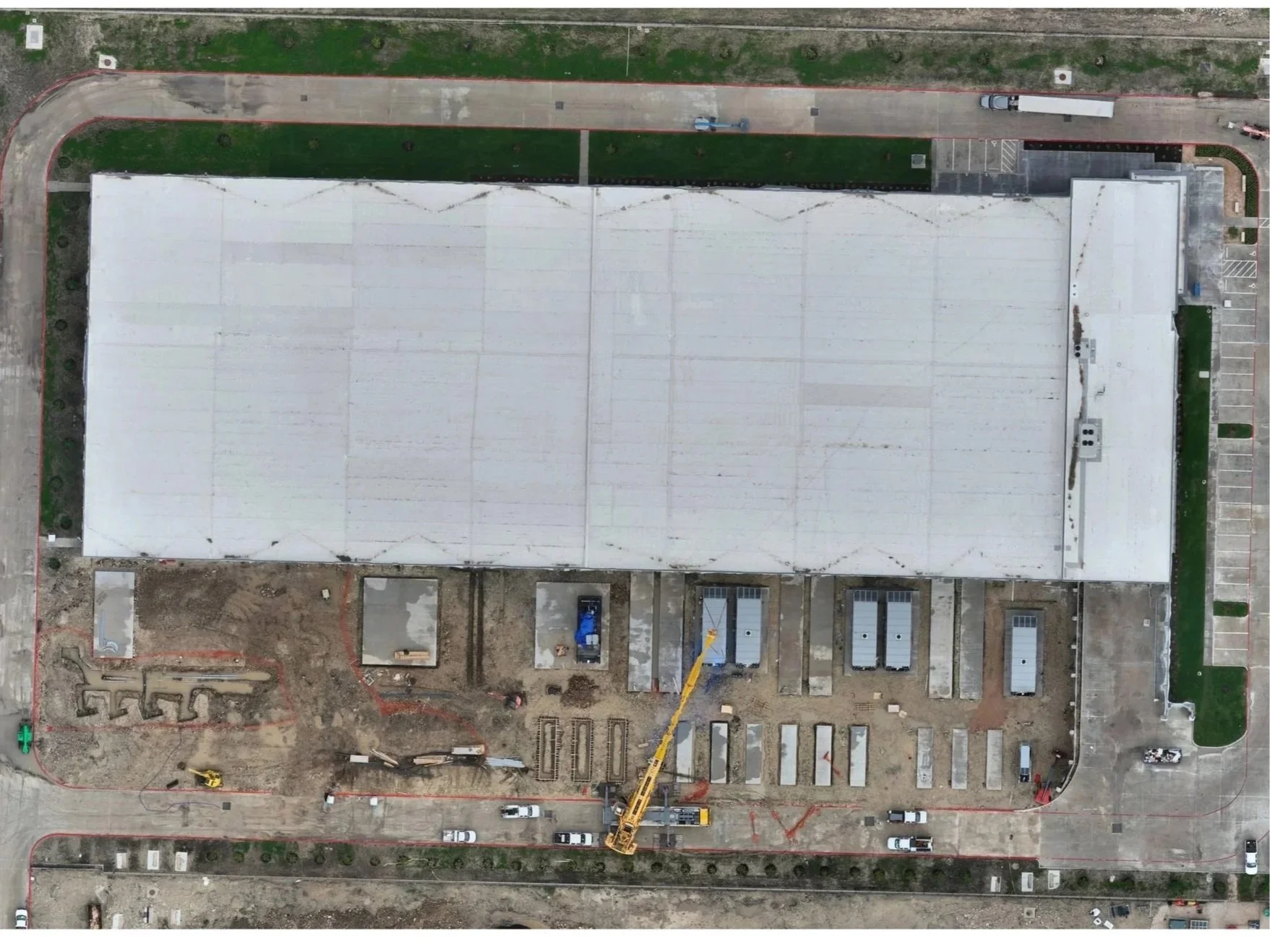
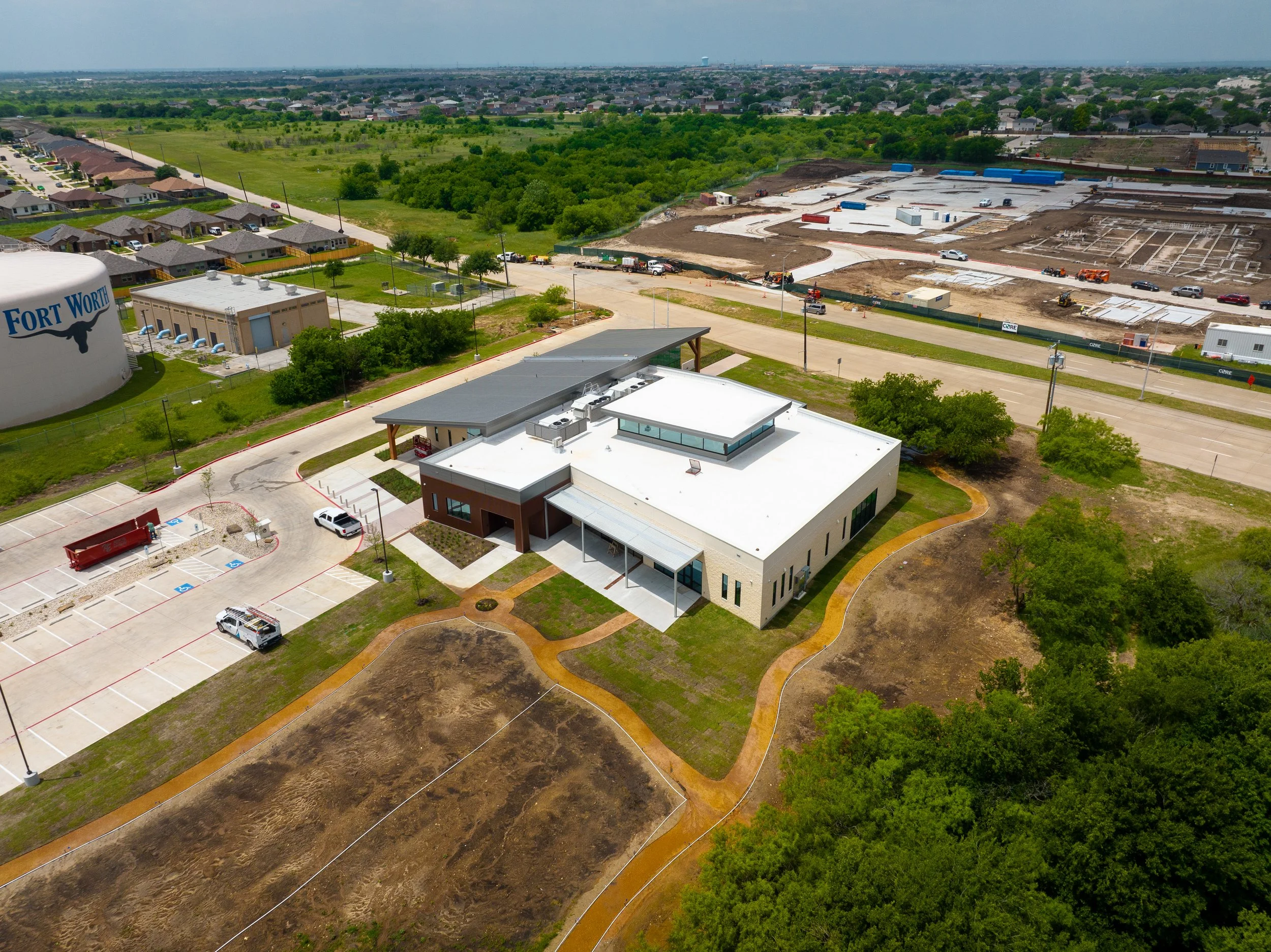
Elevate your construction oversight with high-resolution aerial perspectives that capture the full scope of your site in real-time. From initial groundbreaking to the final walkthrough, our drone photography provides the precise data and stunning visuals you need to monitor progress and showcase your vision.
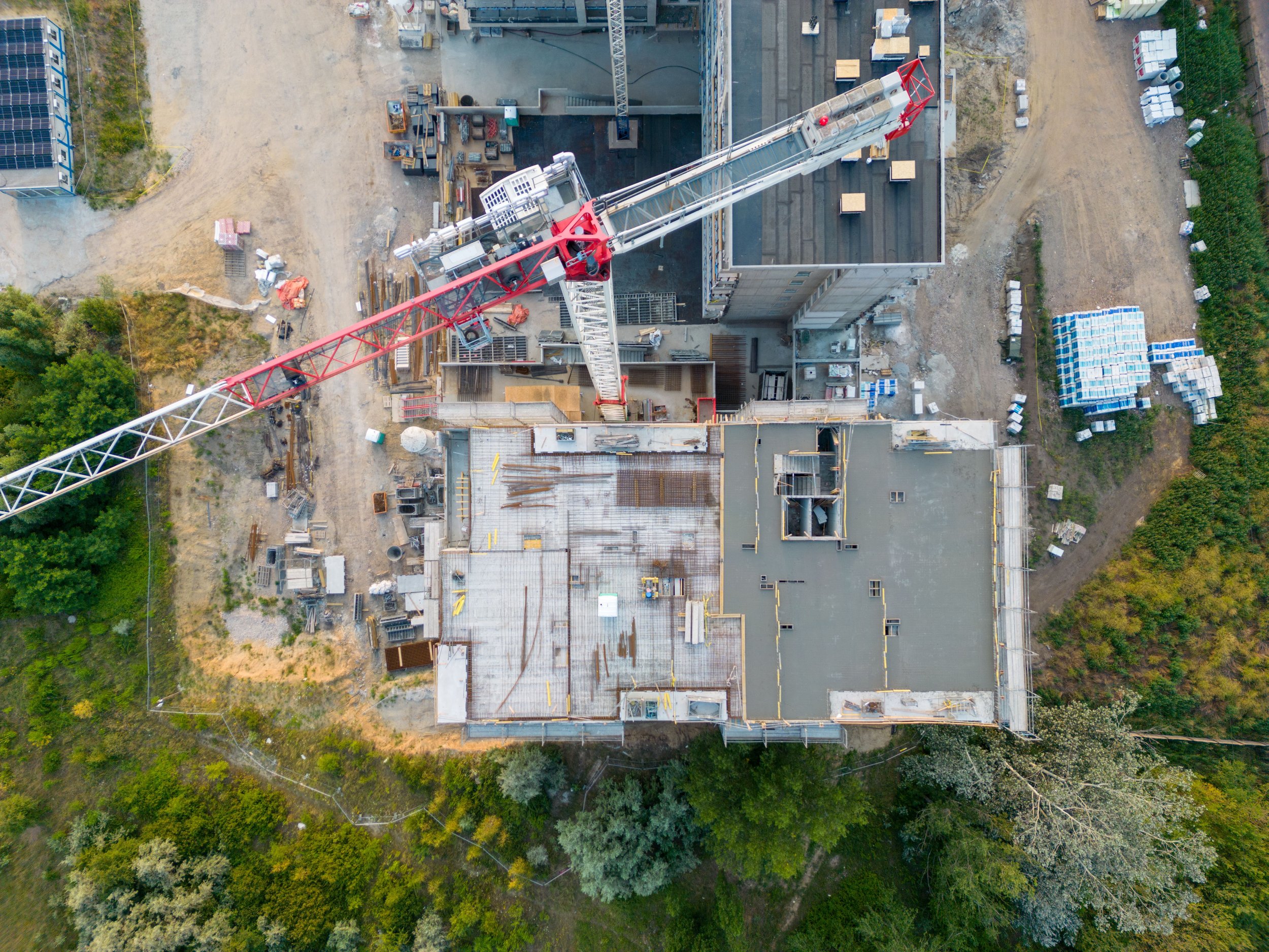
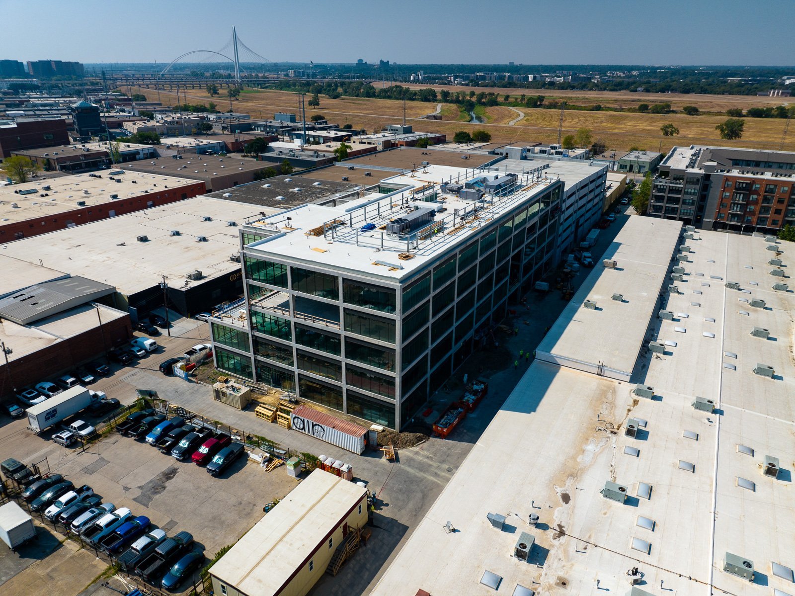
Capture a complete 360-degree perspective of your site with cinematic orbit videos that highlight every architectural detail. These fluid aerial sequences provide an immersive view of your progress, making them the perfect tool for dynamic project presentations and stakeholder updates.
Give your team the tools to help them organize the job site like never before—Aerial maps in the project trailer allow for easy coordination, and direction of the job site. These maps can be viewed online and also printed to any size and delivered directly to your project trailer.


Document your progress
with full confidence.
1
2
3
4
AERIAL PROCESS
PHOTOGRAPHY
Video Process
orbiting
COnstruction
mapping
Aerial & GRound
360 panos
It’s the
Easy Button.
Find our how our team of professional pilots can help you track your project, document your site, and more.
Keeping record of all the progress your site has made across every week, month, even a year can become a hassle when you have too many images to count—Take the stress out of keep track of all those in progress shots with a beautiful, HD pano shot that collages all those photos together for your convenience.
Already
Interested?
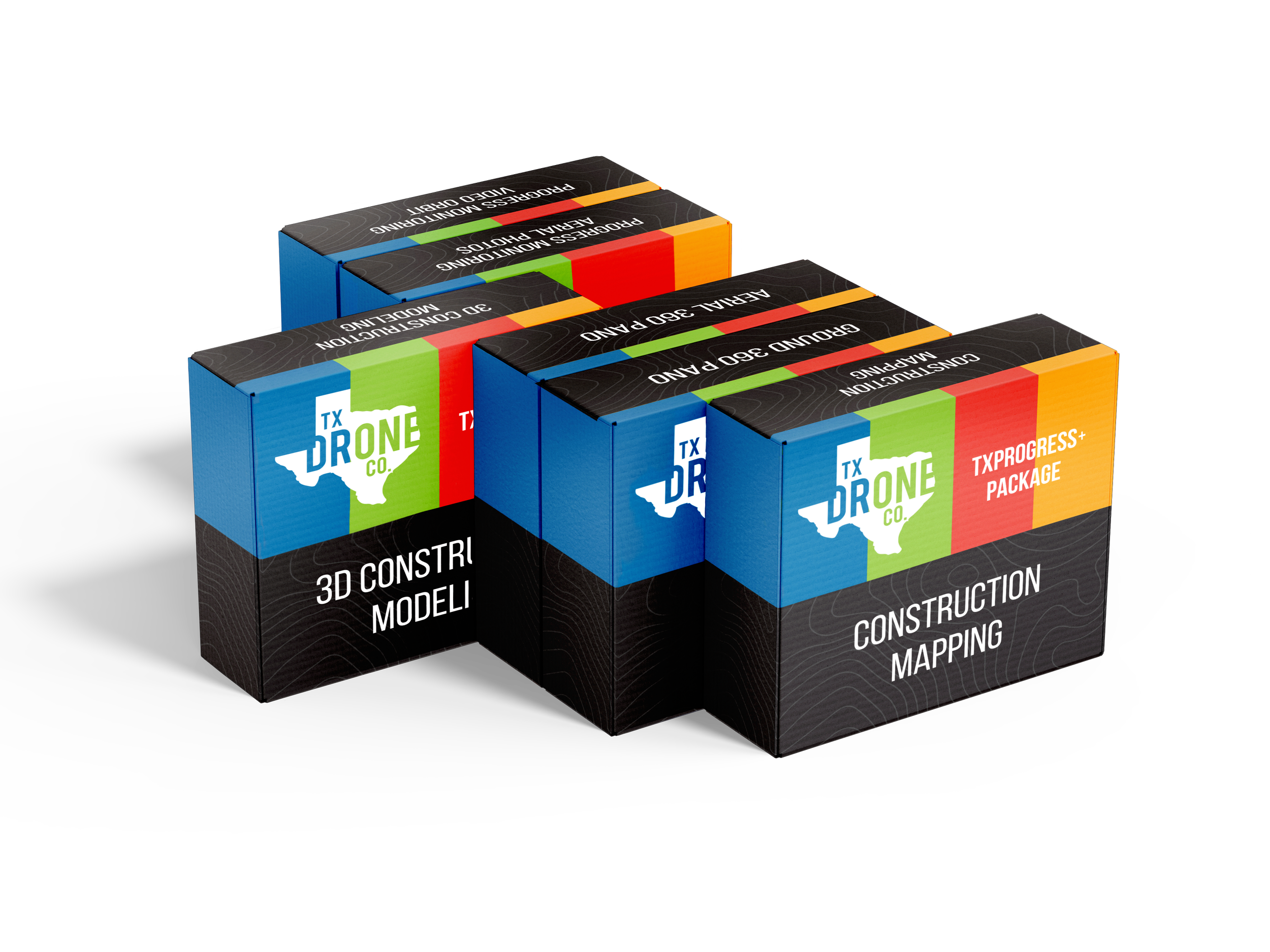
Check out our additional packages to find something that fits right for your next project, or build your own custom package tailored exactly to your needs!
explore our
professional
photography.
software.

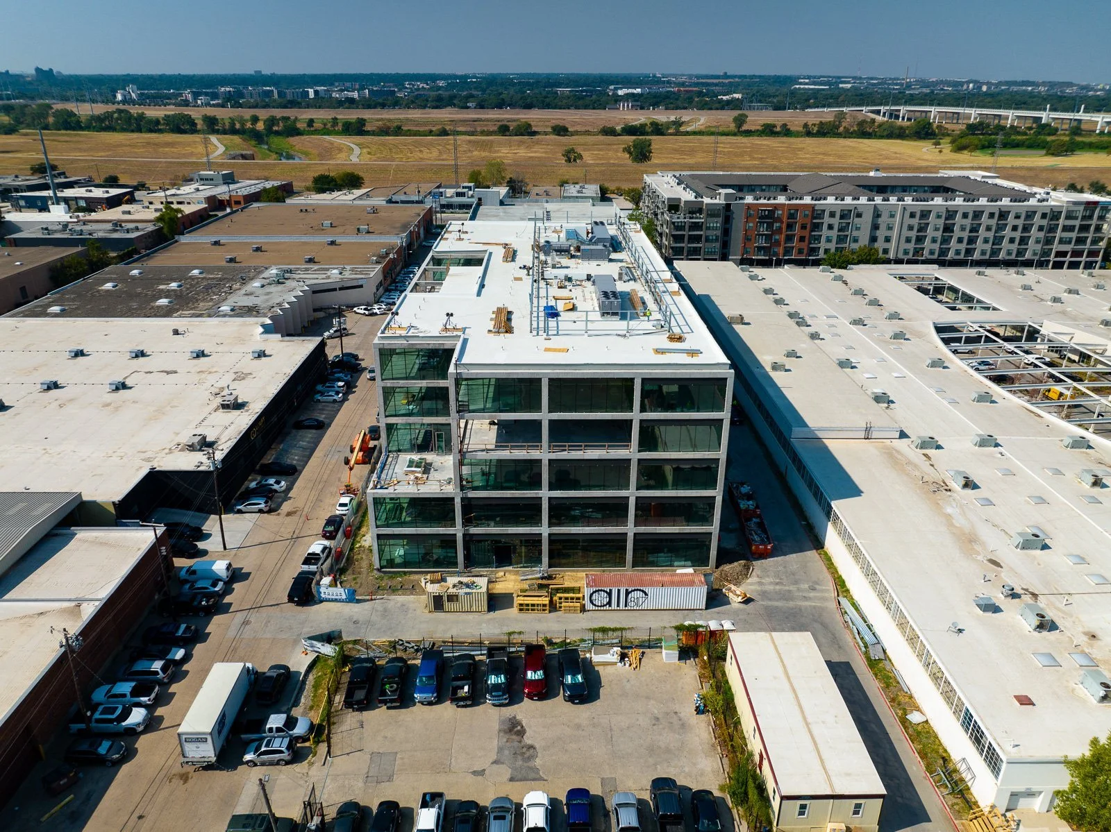
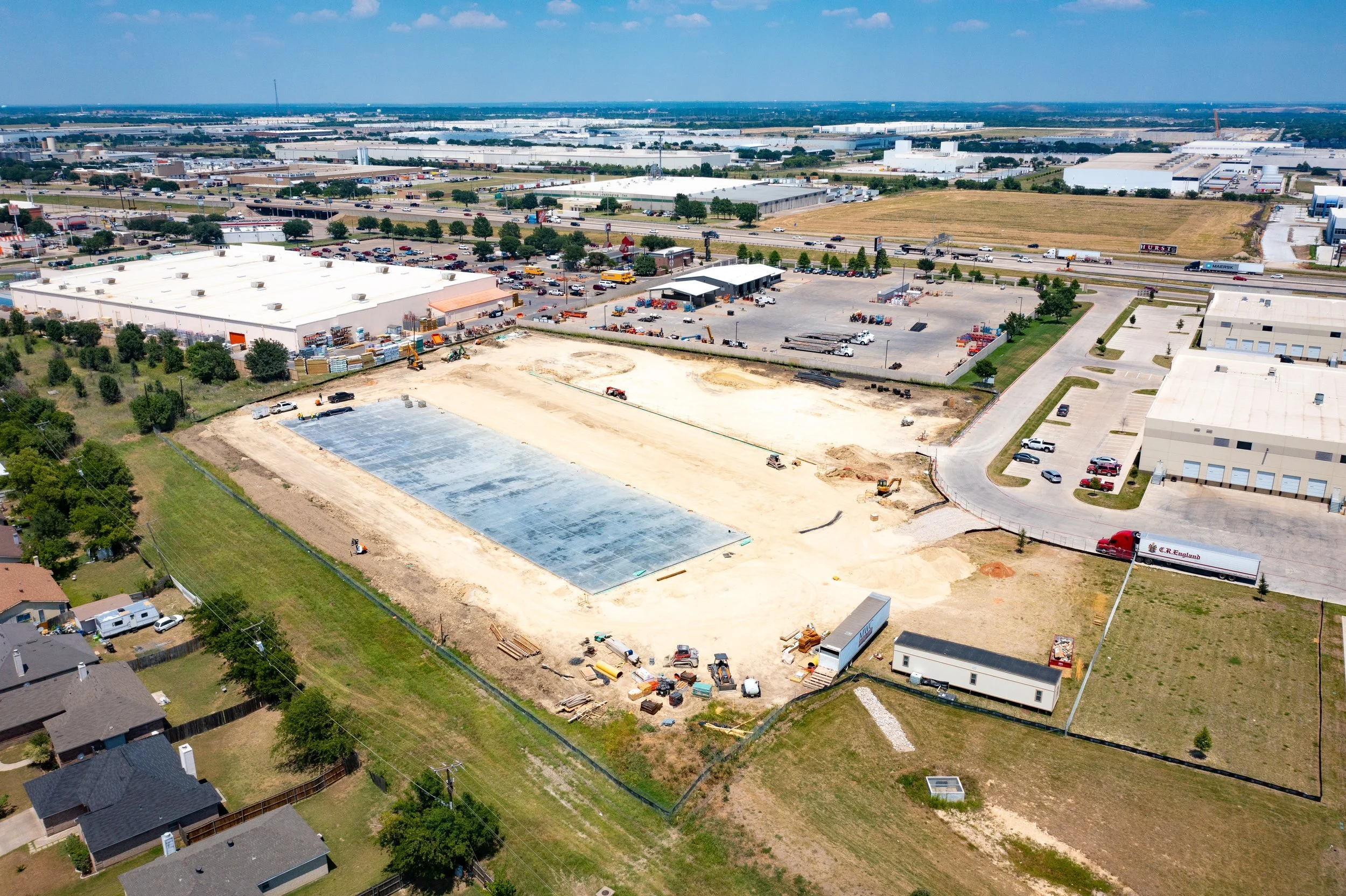
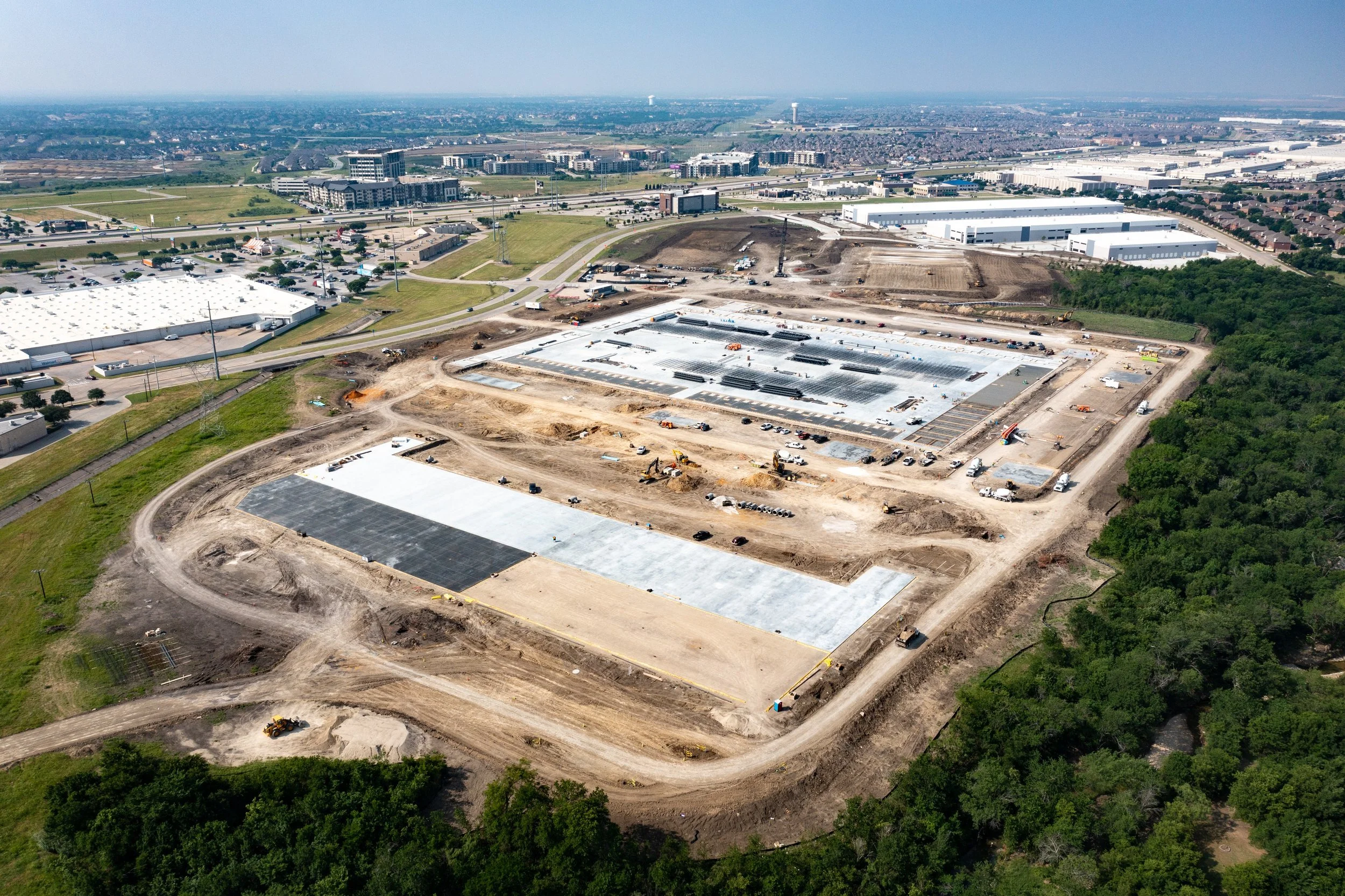
Document every phase of your build with seamless aerial tracking that captures the evolution of your site from groundbreaking to the final reveal. Our high-frequency imaging provides a transparent, professional record that keeps stakeholders informed and ensures every milestone is met with absolute precision, and ensures your team stays up to date on every stage of your project.


“…Construction and engineering firms are leaps and bounds ahead of similarly sized companies in other industries. Some large firms already employ dozens of full-time flight crews to maximize drone data at every step of the process, from design and building to marketing and ongoing inspections.”
-Construction Executive
“…W. M. Jordan started using drones four years ago initially for photography but has since expanded to use them for marketing, site logistics planning, land surveying, monitoring progress, thermal imaging, measuring the amount of dirt or gravel moved and inspecting existing facilities.”
“…Lorem ipsum dolor sit amet, consectetur adipiscing elit, sed do eiusmod tempor incididunt ut labore et dolore magna aliqua. Ut enim ad minim veniam, quis nostrud exercitation ullamco laboris nisi ut aliquip ex ea commodo consequat. “
-Customer Testimony

What our customers have to Say
“…W. M. Jordan started using drones four years ago initially for photography but has since expanded to use them for marketing, site logistics planning, and measuring the amount of dirt or gravel moved and inspecting existing facilities.”
“…Some large firms already employ dozens of full-time flight crews to maximize drone data at every step of the process, from design and building to marketing and ongoing inspections.”
-Construction Executive
“…Lorem ipsum dolor sit amet, consectetur adipiscing elit, sed do eiusmod tempor incididunt ut labore et dolore magna aliqua. Ut enim ad minim veniam. “
-Customer Testimony


Build a Package
Today!
Bring the future of drones to your next project.
Get in touch with our team and get a quote, our team can’t wait to hear from you!