DRONES IN
Survey & Engineering
BETTER. STRONGER. FASTER. LET ALL PROJECT STRESS FLY AWAY.

Mapping Terrain
Beneath Dense Vegetation
If you’ve ever tried to map a wooded lot using traditional drones or satellite imagery, you know the frustration. Standard photogrammetry only captures what it can see and in many cases, that’s just a "green carpet" of leaves. For land developers, foresters, and engineers, this lack of visibility means hidden ravines, unexpected slopes, and old structures remain a mystery until the bulldozers arrive.
Manual ground surveying isn't much better; it’s slow, expensive, and leaves room for human error in difficult-to-reach areas.
SOLUTION:
LIDAR
complications hidden
in plain sight.
Traditional surveys often rely on a limited number of manual points, which can easily miss critical hazards like hidden depressions or subtle slope shifts between measurements. Without the exhaustive density of a LiDAR scan, these terrain complications often remain undiscovered until ground is broken, leading to expensive redesigns and project delays. By capturing every square centimeter of your site, we eliminate the gaps where costly surprises hide.
Inaccurate
Flood Risk Modeling
In flood zone planning, "close enough" isn't good enough. Traditional topographic data often relies on satellite imagery or low-resolution maps that can miss subtle changes in elevation. A discrepancy of just 10 centimeters can be the difference between a dry basement and a total loss.
Standard maps frequently overlook critical micro-features, curbs, small levees, and drainage ditches - that dictate exactly where water will flow during a storm surge or flash flood. Relying on outdated data puts your infrastructure, investments, and community at risk.

High Costs and Safety Risks
in Hazardous Corridors
Many of the most critical sites are also the most dangerous to set foot on. Whether it’s a steep, unstable rock face, a sprawling construction site with heavy machinery, or a contaminated industrial zone, sending a survey crew in with tripods is a massive liability.
Traditional surveying in these areas isn't just slow - it’s a safety nightmare. If the ground is unstable or the environment is hostile, you shouldn't have to choose between getting accurate data and keeping your team safe.
In an era where data-driven decisions are the backbone of every successful project, having the right tool for the job is essential. While Photogrammetry is an excellent, cost-effective solution for creating high-resolution visual maps and 3D models of clear terrain, LiDAR (Light Detection and Ranging) offers a specialized advantage when projects demand an extra level of structural detail.
LiDAR uses active laser pulses to define the physical world - providing a distinct advantage in challenging environments.
Why use
Lidar?
Using advanced laser-pulse technology and high-performance sensors, our drone-mounted LiDAR systems scan your site with surgical precision. Unlike traditional methods, our sensors emit hundreds of thousands of laser pulses per second, capturing every detail of your landscape, no matter how small or distant.
Photogrammetry is an excellent, cost-effective solution for projects that prioritize high-resolution visual detail. By stitching together thousands of aerial images, we create "photo-real" 3D models and orthomosaic maps with incredible surface clarity.
Aerial LiDAR produces detailed, highly accurate elevation data down to the pixel, perfect for applications in urban planning, forestry management, and flood risk assessment.
Being able to track your project on a monthly, or even weekly base, can be the difference between meeting a deadline with confidence and scrambling last minute due to unseen issues.
Explore how we deliver industry defining lidar.
UNMATCHED
PRECISION
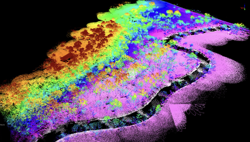
By capturing millions of distinct data points, each with its own precise x, y, z coordinate, we provide a high-fidelity "point cloud" that serves as a flawless digital foundation. Whether you’re calculating drainage slopes or structural clearances, you get the absolute certainty required for complex site design.
Remote
PLanning
RAPID DATA
COLLECTION
Our aerial LiDAR systems capture vast, complex landscapes in a single flight, transforming what used to be a lengthy process into a matter of hours. By gathering millions of data points from the air, we provide comprehensive site coverage with zero operational downtime. This accelerated workflow delivers high-fidelity 3D models to your team in record time, ensuring your project moves from planning to execution without delay.

COMPREHENSIVE
TERRAIN
COVERAGE
Our LiDAR systems capture the total reality of your site, reaching where standard cameras and eyes cannot. By firing thousands of laser pulses per second, we penetrate thick vegetation and navigate complex structures to map the true ground surface and every object upon it. This creates a dense, exhaustive 3D point cloud that reveals hidden slopes, depressions, and obstacles across your entire project area. You receive a complete, gap-free representation of your landscape, providing total spatial awareness for even the most rugged or obscured environments.
What About
Photogrammatry?
time stamped
tracking
Already
Interested?
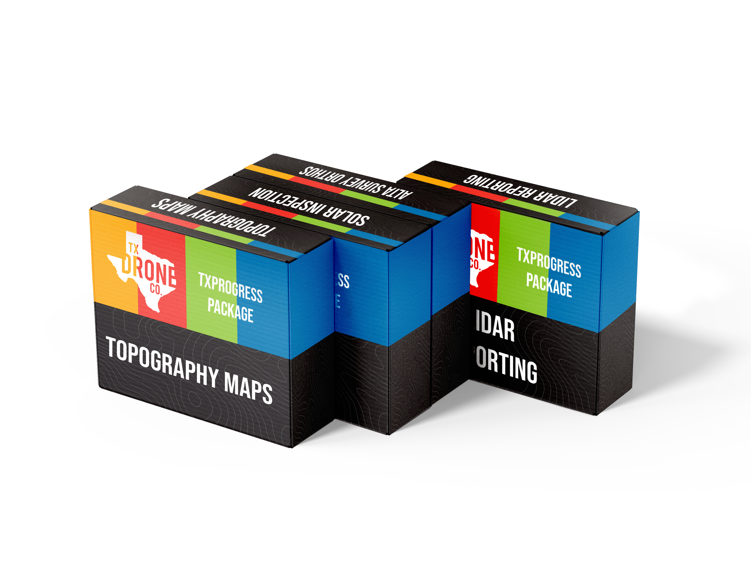
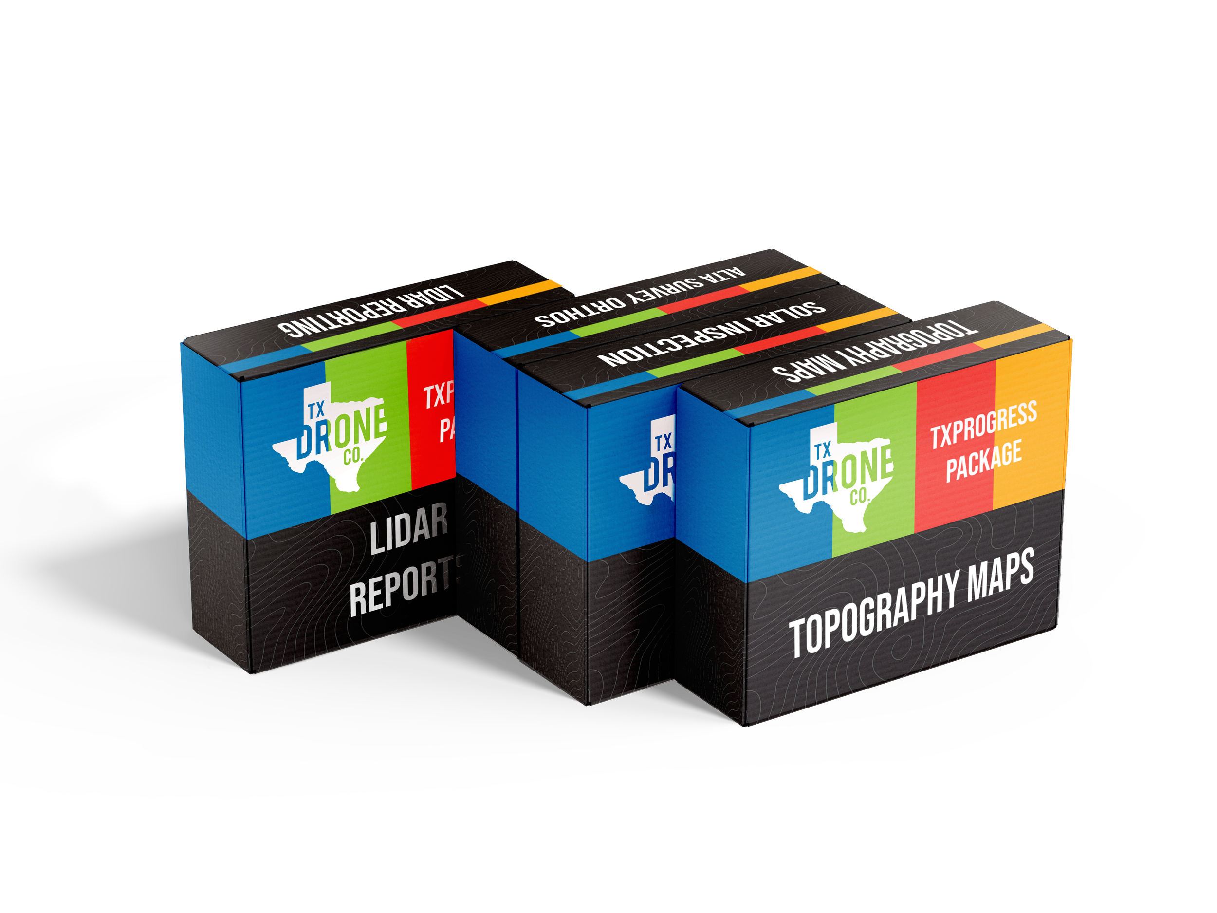
Check out our additional packages to find something that fits right for your next project!
INDUSTRIES WE SERVE.

SOLAR
CIVIL
ENGINNERING
Archeology
Gas & OIL
Power and
Infrastructure

what makes us
Industry
Defining.
Our teams precision accuracy and industry leading LiDAR technology gives us the capacity to track and document intricate details beyond what traditional methods offer, making it especially effective for capturing stretches of surfaces hidden by undergrowth, trees, and various vegetation types without concerns of destroying foliage.
DON’T SETTLE FOR LESS.
GET OUR TEXAN DRONE BEST.
From conservationists and ecologists to urban planners and oil companies, any team can benefit from the coverage offered by LiDAR. With Aerial Point Clouds, your team can be shown detail depictions of your sites over time thanks to the help of hundreds of thousands of precision points—such density of aerial points offering your team access to vegetation density, elevation variation, and hyper accurate 3D modeling of your site.

Our team is WHAT YOU REALLY NEED.
OFFERiNG COVERAGE
All over texas, And beyond.


Get in touch
Today!
Bring the future of drones to your next project.
Reach out to us and tell us how we can bring our best to your next project.