Construction
Mapping
Track the smallest details, and calculate
any aspect of your project, anytime.
Enjoy every angle of your project.
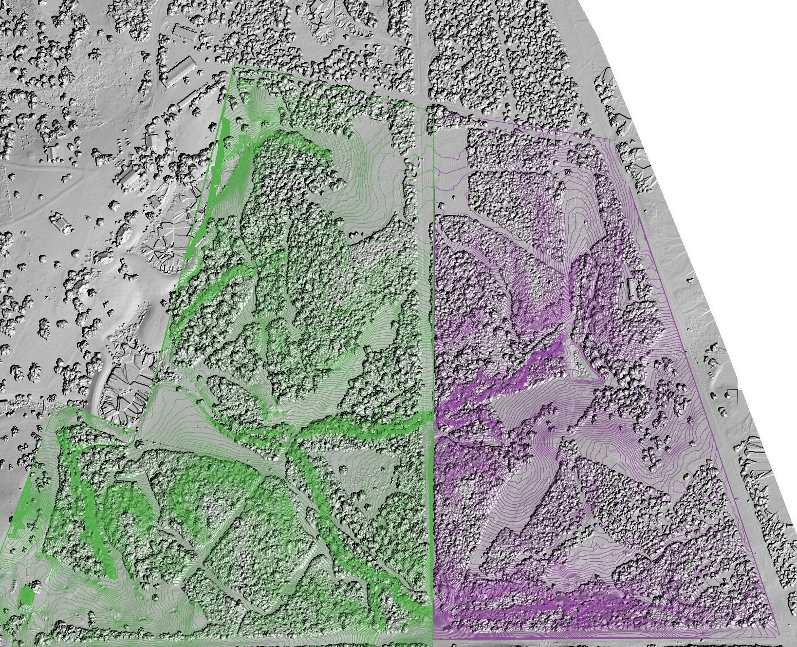
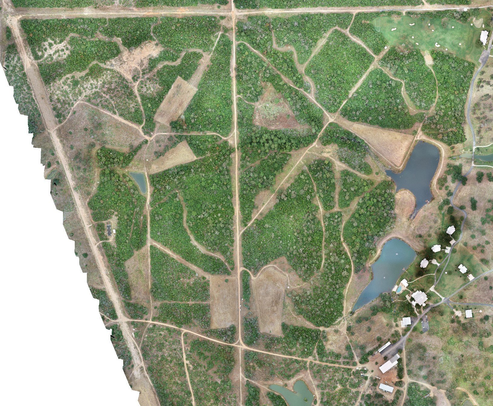
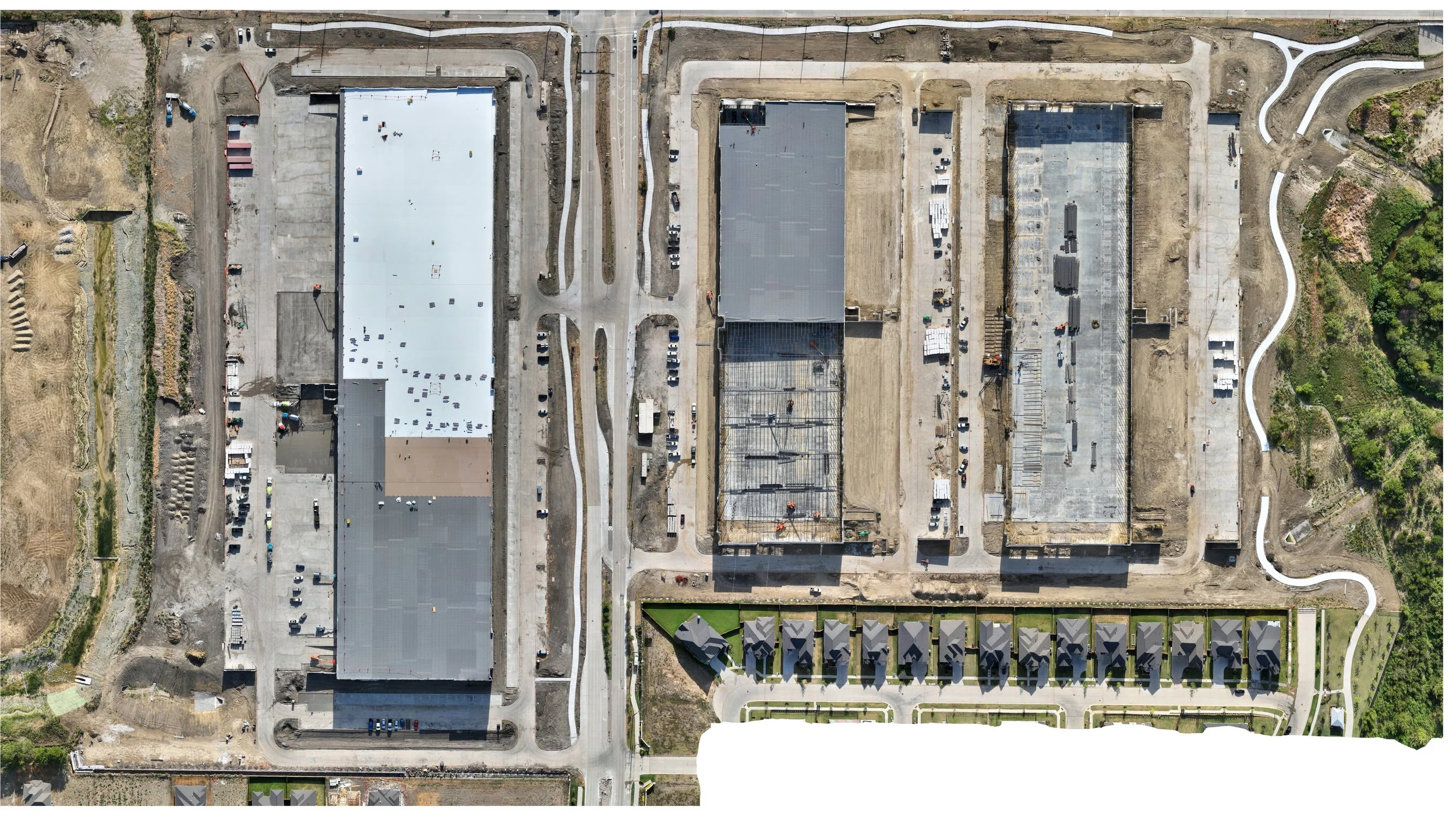
Give your team the tools to help them organize the job site like never before—Aerial maps in the project trailer allow for easy coordination, and direction of the job site. These maps can be viewed online and also printed to any size and delivered directly to your project trailer.

Prepare and Plan for it all!
Aerial maps offer the opportunity for your team to document any changes across the project that would otherwise go unnoticed, or even work out exacts for additional add-ons, such as Cut & Fill.
Deliverable includes...
2D & 3D Map Files

With the primary deliverable, your team is able to download and print any 2D examples to assist in planning, or explore the entire site in full 3D to scope out every corner of your work.
Construction firms of all sizes have been quick to identify dozens of use cases that have made old processes faster, cheaper, safer and simpler—all thanks to drones.
— Construction Executive
“Construction firms of all sizes have been quick to
identify dozens of use cases that have made
old processes faster, cheaper, safer and
simpler—all thanks to drones.”
— Construction Executive

Already
Interested?
Check out our additional packages to find something that fits right for your next project!